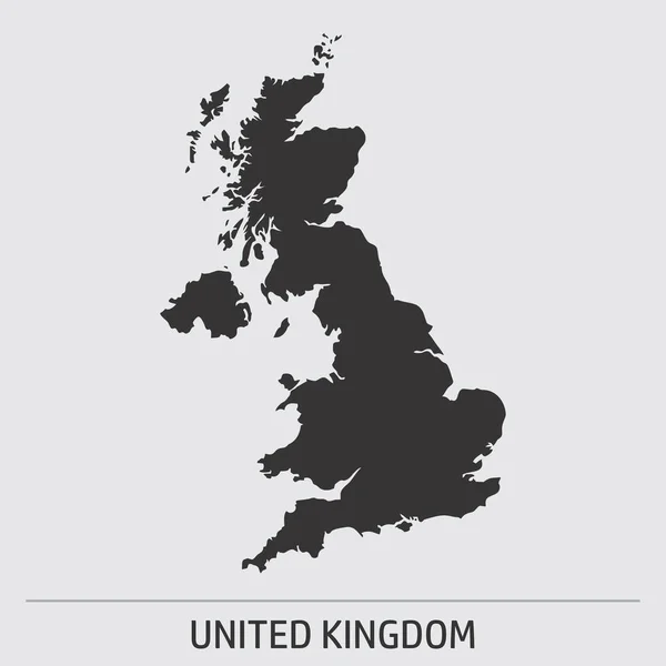
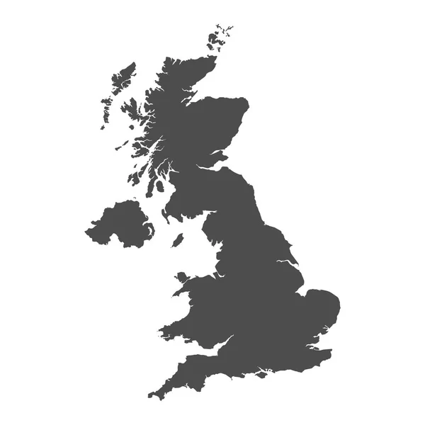
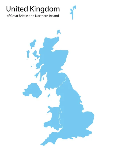
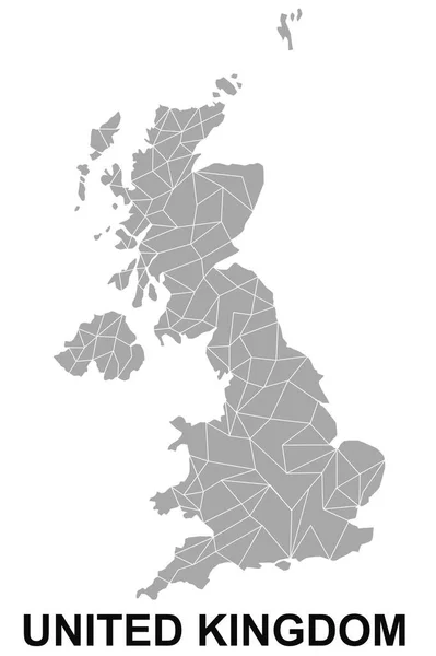
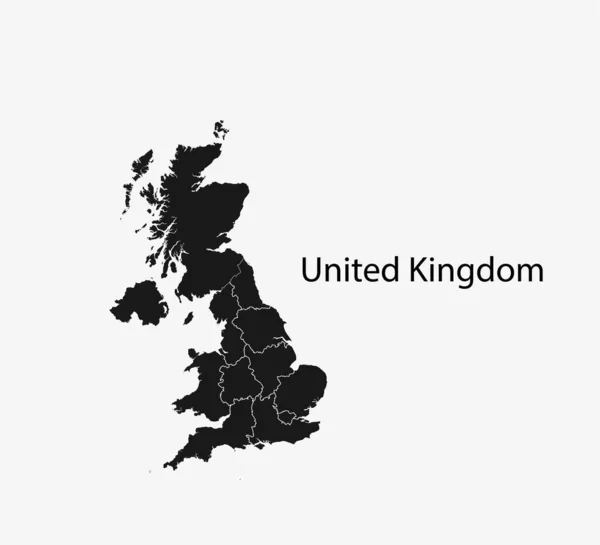
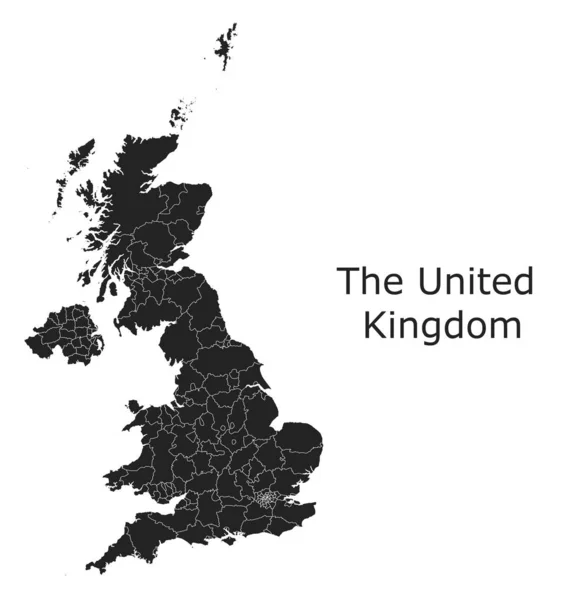
Stock vector United Kingdom vector maps with administrative regions, municipalities, departments, borders
Published: Feb.27, 2020 19:42:51
Author: Litteralis
Views: 4
Downloads: 2
File type: vector / eps
File size: 16.12 MB
Orginal size: 9477 x 9894 px
Available sizes:
Level: bronze