photo free
Home Images Vectors Videos

Stock vector United States major river basins, political map. Nineteen major river basins, highlighted in different colors. Map with the silhouette of the USA, also showing the borders of the individual states.

Stock vector United States major river basins, political map. Nineteen major river basins, highlighted in different colors. Map with the silhouette of the USA, also showing the borders of the individual states.
Published: Mar.06, 2024 09:58:35
Author: Furian
Views: 5
Downloads: 1
File type: vector / eps
File size: 4.33 MB
Orginal size: 7654 x 6000 px
Available sizes:
S
(500 x 392)
M
(1000 x 784)
L
(2000 x 1568)
XL
(7654 x 6000)
VECT
(7654 x 6000)
EL0
(7654 x 6000)
Level: silver
Download Vector
Vector topics:

Similar stock vectors

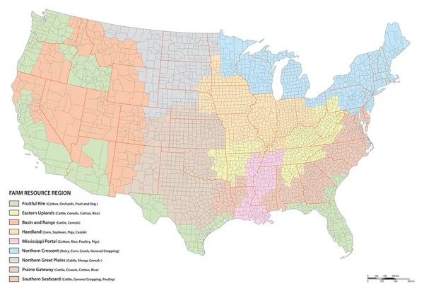
stock vector Vector map of agricultural resource regions, United States

Vector Map Of Agricultural Resource Regions, United States

4524 × 3100
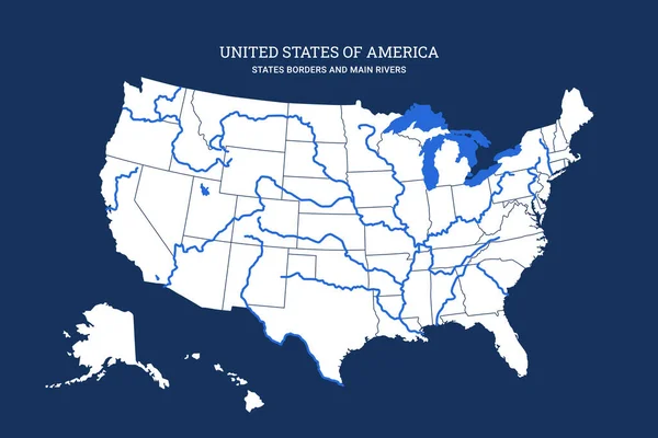
stock vector Cartographic map of United States Of America with rivers, lakes and state lines. Territory borders isolated on blue background. Vector illustration. Usa country graphic poster. American area banner.

Cartographic Map Of United States Of America With Rivers, Lakes And State Lines. Territory Borders Isolated On Blue Background. Vector Illustration. Usa Country Graphic Poster. American Area Banner.

6000 × 4000
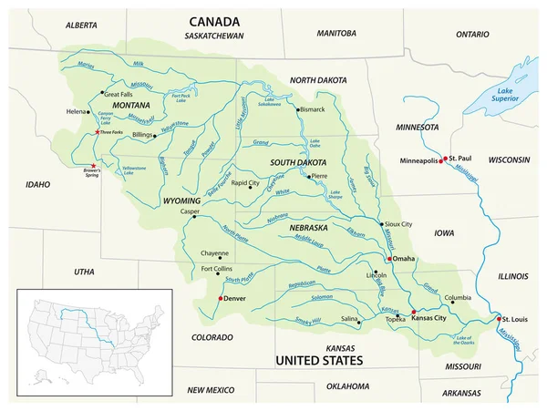
stock vector Vector map of the Missouri River Drainage Basin, United States, Canada

Vector Map Of The Missouri River Drainage Basin, United States, Canada

4117 × 3100
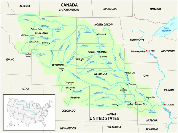
stock vector Vector map of the Missouri River Drainage Basin, United States, Canada

Vector Map Of The Missouri River Drainage Basin, United States, Canada

4000 × 3858
stock vector american map stone texture

American Map Stone Texture

2181 × 4000
stock vector The United States of America

The United States Of America

2875 × 2232
stock vector vector map of the Great Lakes Basin

Vector Map Of The Great Lakes Basin

4022 × 3100
stock vector USA map vector

USA Map Vector

3160 × 2236