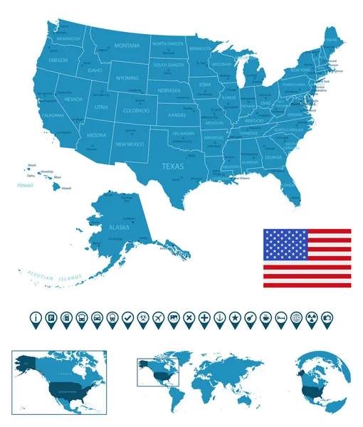
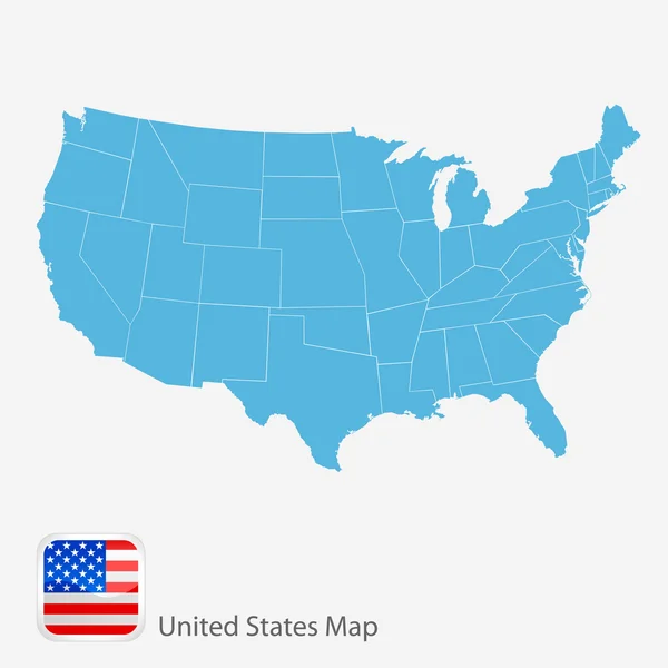
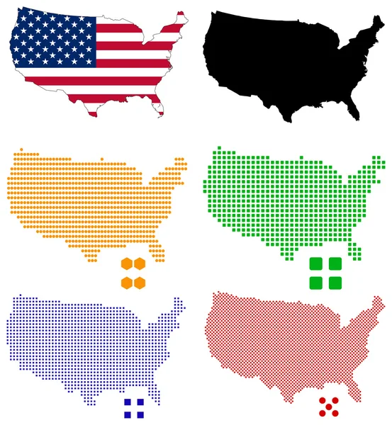
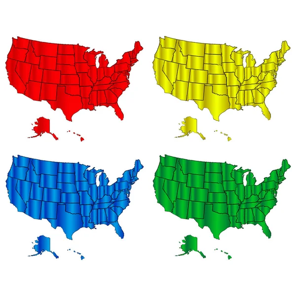
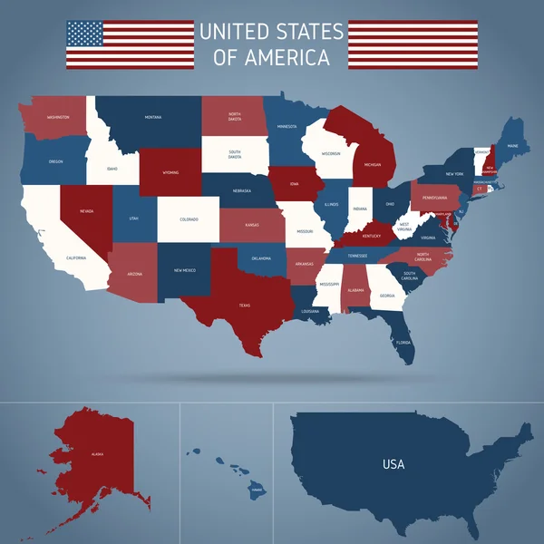
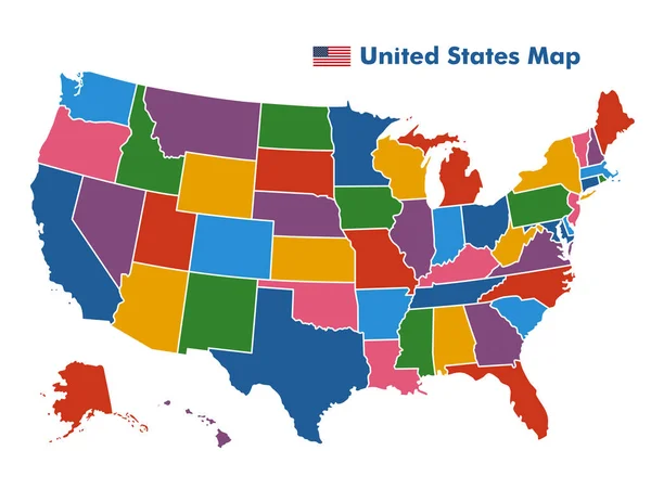
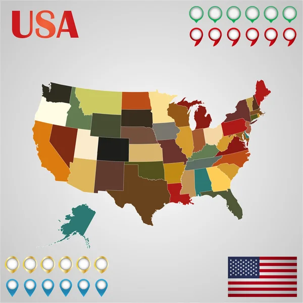
Stock vector United States map with separated states, flag and geo
Published: Apr.25, 2016 07:23:43
Author: stas11
Views: 84
Downloads: 4
File type: vector / eps
File size: 6.69 MB
Orginal size: 4167 x 4167 px
Available sizes:
Level: bronze