Home
Images
Vectors
Videos
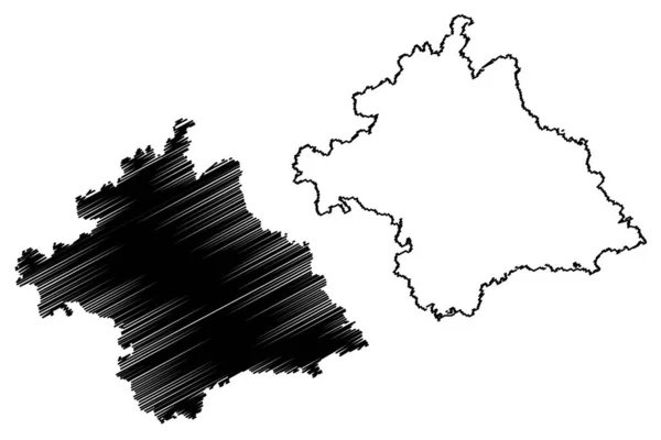
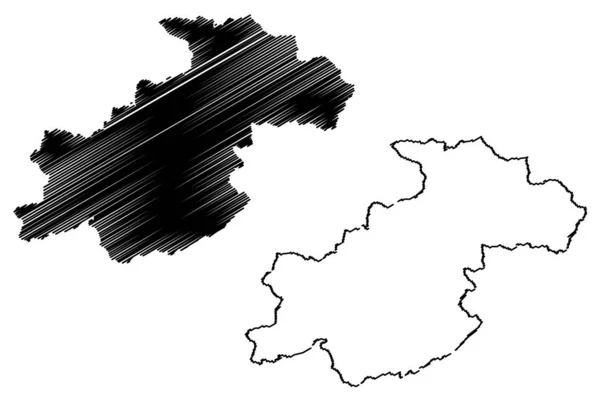
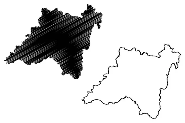
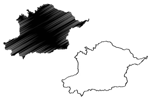
Stock vector Upper Franconia (Federal Republic of Germany, Administrative division, Region Free State of Bavaria) map vector illustration, scribble sketch Upper Franconia map
Published:
Jul.26, 2021 06:17:38
Author:
Danler
Views:
1
Downloads:
0
File type:
vector
/
eps
File size:
0.87 MB
Orginal size:
7087
x
4726
px
Available sizes:
S
(500 x 333)
M
(1000 x 667)
L
(2000 x 1334)
XL
(7087 x 4726)
VECT
(7087 x 4726)
EL0
(7087 x 4726)
Level:
bronze
Download Vector
Vector topics:
Vector
Illustration
Design
Isolated
Sign
Travel
Abstract
Texture
Black
Line
Silhouette
Border
Symbol
Icon
City
Flat
Contour
Simple
Drawing
Scratch
Tourism
Town
Europe
Sketch
Outline
Country
Map
Cartography
Geography
Area
National
Germany
State
Topography
Administrative
Republic
Delineation
Region
Scribble
Division
Insignia
Territory
Borderline
Patriotic
Province
Nation
County
Districts
Oblast
Upper Franconia
Similar stock vectors
Munich City (Federal Republic Of Germany) Map Vector Illustration, Scribble Sketch City Of Munchen Map
7087 × 4726
Nanning City (People's Republic Of China, Guangxi Province) Map Vector Illustration, Scribble Sketch City Of Nanning Map
7087 × 4726
Luoyang City (People's Republic Of China, Henan Province) Map Vector Illustration, Scribble Sketch City Of Loyang Map
7087 × 4726
Ghor Province Map Vecto
7087 × 4726
Balaghat District (Madhya Pradesh State, Jabalpur Division, Republic Of India) Map Vector Illustration, Scribble Sketch Balaghat Map
7087 × 4726
Kanker District (Chhattisgarh State, Bastar Division, Republic Of India) Map Vector Illustration, Scribble Sketch Kanker Map
7087 × 4726
Osh Region (Kyrgyz Republic, Kirghizia, Regions Of Kyrgyzstan) Map Vector Illustration, Scribble Sketch Osh Ma
7087 × 4726
Schmalkalden-Meiningen District (Federal Republic Of Germany, Rural District, Free State Of Thuringia) Map Vector Illustration, Scribble Sketch Schmalkalden Meiningen Map
7087 × 4726