Home
Images
Vectors
Videos
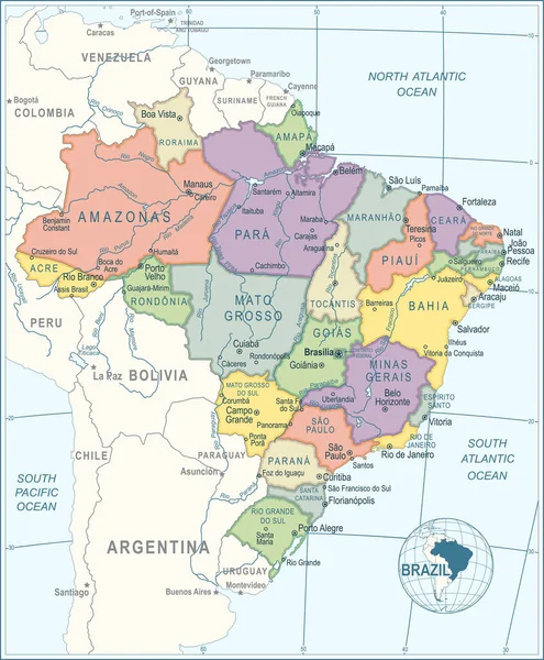
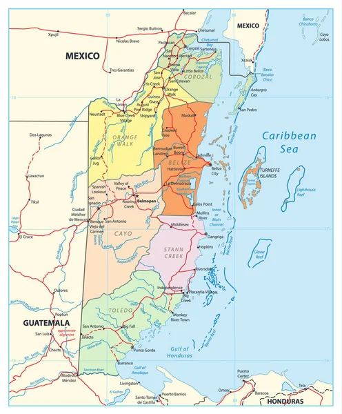
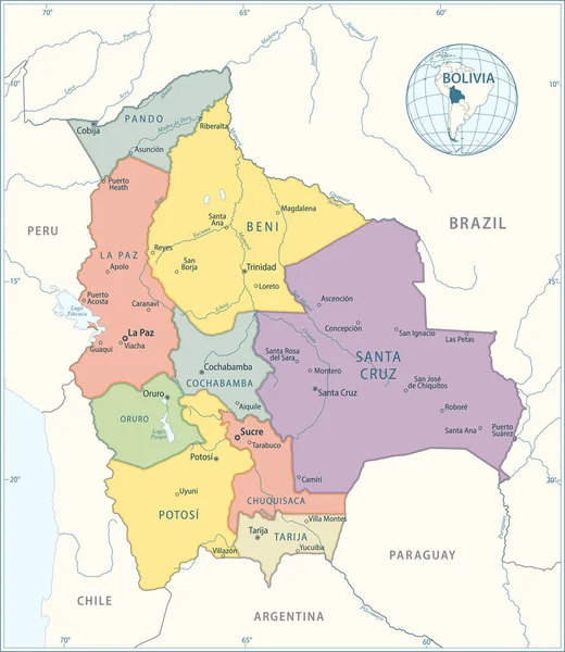
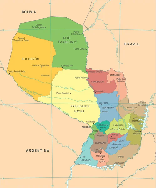
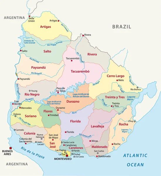
Stock vector Uruguay administrative map
Published:
Dec.02, 2014 07:31:36
Author:
Lesniewski
Views:
1371
Downloads:
3
File type:
vector
/
eps
File size:
1.1 MB
Orginal size:
2320
x
2533
px
Available sizes:
S
(458 x 500)
M
(916 x 1000)
L
(1832 x 2000)
XL
(2320 x 2533)
VECT
(2320 x 2533)
EL0
(2320 x 2533)
Level:
bronze
Download Vector
Vector topics:
Color
White
Vector
Background
Graphic
Illustration
Design
Sign
Travel
Detail
Cut
Border
Symbol
City
Contour
Tourism
South
Outline
Country
Map
Cartography
Geography
National
Land
Lake
State
Chart
America
Boundary
Political
Administrative
Department
Brazil
Atlas
Nation
Argentina
URUGUAY
Montevideo
South America
Buenos Aires
Atlantic Ocean
Río De La Plata
Similar stock vectors
South America Single States Map
6000 × 7078
Map Of Brazil - Highly Detailed Vector Illustration
4309 × 5217
Belize Political Map. Detailed Political Map Of Belize With The Capital Belmopan, National Borders, Roads, Most Important Cities, Rivers And Lakes. Vector Illustration With English Labeling And Scale.
3720 × 4500
Map Of Bolivia - Highly Detailed Vector Illustration
4384 × 5056
Brazil Map - Highly Detailed Vector Illustration
4551 × 5510
Argentina Map - Highly Detailed Vector Illustration
3549 × 5509
Paraguay Map - Detailed Vector Illustration
5500 × 6613
Belize Political Map Isolated On White. Detailed Political Map Of Belize With The Capital Belmopan, National Borders, Roads, Most Important Cities, Rivers And Lakes Isolated On White.
3720 × 4500