Home
Images
Vectors
Videos
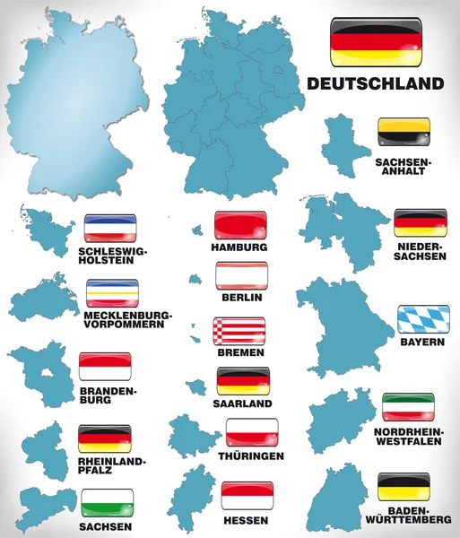
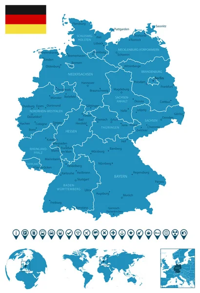
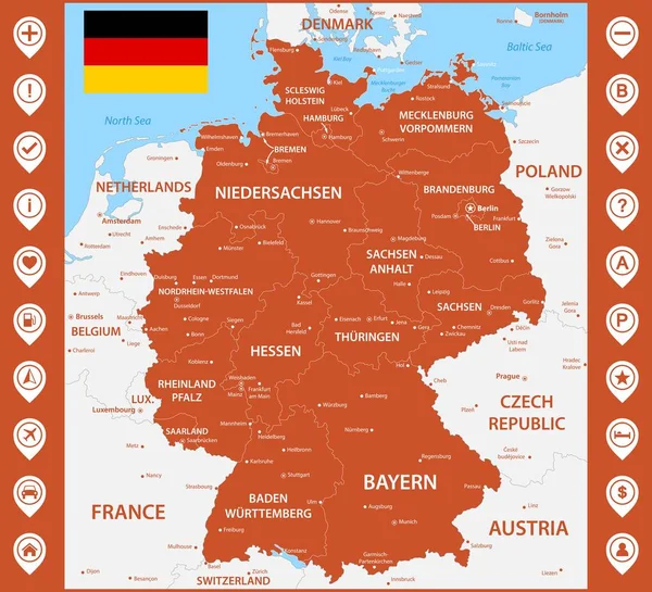
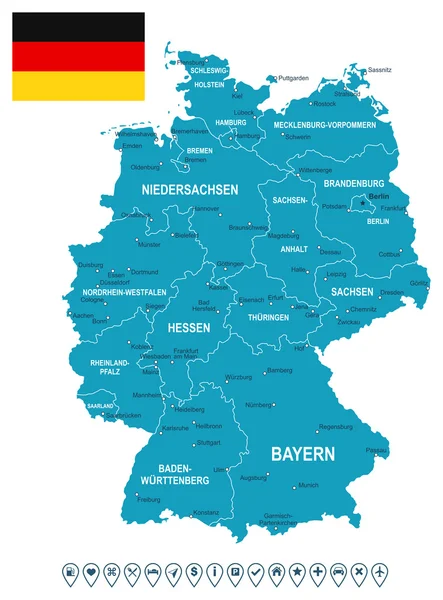
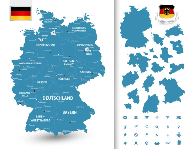
Stock vector Vector administrative map of Federal Republic of Germany with the flags of the federal states
Published:
Jun.30, 2020 07:11:41
Author:
Lesniewski
Views:
111
Downloads:
2
File type:
vector
/
eps
File size:
3.74 MB
Orginal size:
6031
x
5456
px
Available sizes:
S
(500 x 452)
M
(1000 x 905)
L
(2000 x 1809)
XL
(6031 x 5456)
VECT
(6031 x 5456)
EL0
(6031 x 5456)
Level:
bronze
Download Vector
Vector topics:
Vector
Background
Illustration
Travel
Border
Flag
Detailed
Capital
Europe
Country
District
Map
Cartography
Geography
Germany
Land
Topography
Political
Administrative
Politics
Berlin
Bavaria
Geographical
Brandenburg
Munich
Bremen
Hamburg
Kiel
Regions
Dresden
Hesse
Saxony
Erfurt
Thuringia
Stuttgart
Dusseldorf
Baden Wurttemberg
Saarland
Schwerin
Hannover
Magdeburg
Wiesbaden
Saxony Anhalt
Bonn
Rhineland Palatinate
Infographic
North Rhine Westphalia
Lower Saxony
Similar stock vectors
Map Of Germany With Borders In Blue
3701 × 4323
Germany - Detailed Blue Country Map With Cities, Regions, Location On World Map And Globe. Infographic Icons. Vector Illustration
5734 × 8377
Map Of Germany With It's States And Flat Map Pointers
5744 × 8192
The Detailed Map Of The Germany With Regions Or States And Cities, Capitals. With Map Pins Or Pointers. Place Location Markers Or Signs
6600 × 6000
Germany Map, Flag And Navigation Labels - Illustration.
5400 × 7296
Map Of Germany With Its Federal States
5168 × 4115
Germany Map And Flag Divided On West And East Germany With Regions, Design Glass Card 3D Vector
4000 × 4232