Home
Images
Vectors
Videos
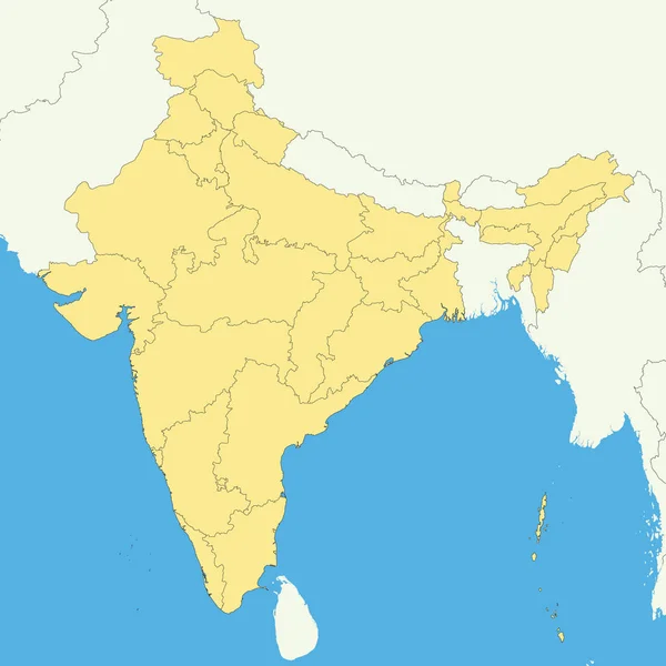
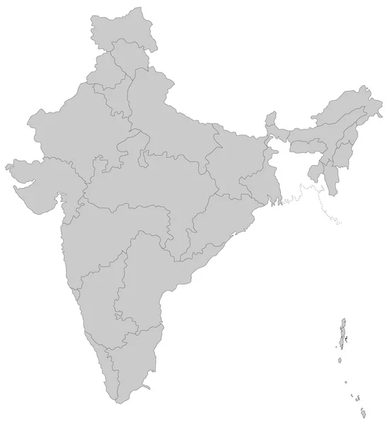
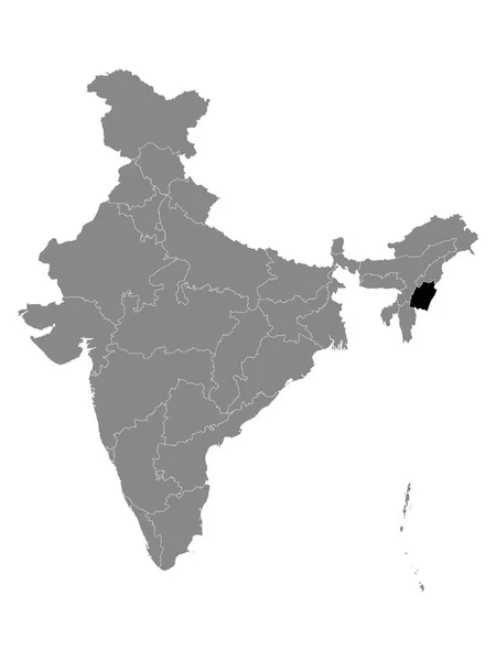
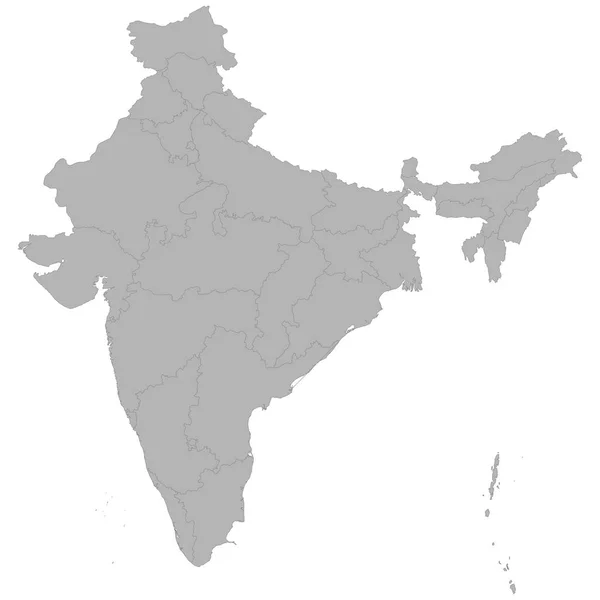
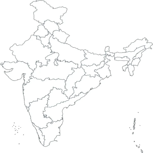
Stock vector Vector blank map of India with states and territories and administrative divisions, and neighbouring countries. Editable and clearly labeled layers.
Published:
Jul.09, 2022 02:57:45
Author:
asantosg
Views:
99
Downloads:
1
File type:
vector
/
eps
File size:
4.17 MB
Orginal size:
4250
x
4675
px
Available sizes:
S
(455 x 500)
M
(909 x 1000)
L
(1818 x 2000)
XL
(4250 x 4675)
VECT
(4250 x 4675)
EL0
(4250 x 4675)
Level:
bronze
Download Vector
Vector topics:
Color
White
Vector
Background
Colorful
Graphic
Illustration
Design
Isolated
Sea
Blank
Physical
Information
Ocean
Detailed
Country
Map
Cartography
Geography
National
Bengal
Asia
Borders
Layers
Political
Administrative
India
States
Delhi
Maharashtra
Division
Info
English
Editable
Goa
Mockup
Pradesh
Rajasthan
Provinces
Regions
Territories
Labeled
Kerala
Kashmir
Punjab
Infographics
Neighbouring
Uttar Pradesh
Gujarat
Lakshadweep
Similar stock vectors
High Quality Map With Borders
4000 × 4000
Black Location Map Of Indian State Of Meghalaya Within Grey Map Of India
3600 × 4800
Map Of India
4000 × 4350
Map Of India
4000 × 4350
Black Location Map Of Indian State Of Manipur Within Grey Map Of India
3600 × 4800
High Quality Map Of India With Borders Of The Regions On White Backgroun
4000 × 4000
India Outline Silhouette Of Map With States. India Map
3000 × 3000
Black Location Map Of Indian State Of Mizoram Within Grey Map Of India
3600 × 4800