Home
Images
Vectors
Videos
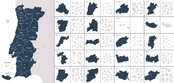
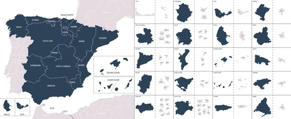
Stock vector Vector color detailed map of Finland with administrative divisions of the country, each region is presented separately with high detail divided into districts and sub-regions
Published:
Jan.24, 2022 07:42:00
Author:
martinova4
Views:
1
Downloads:
0
File type:
vector
/
eps
File size:
6.44 MB
Orginal size:
7677
x
3716
px
Available sizes:
S
(500 x 242)
M
(1000 x 484)
L
(2000 x 968)
XL
(7677 x 3716)
VECT
(7677 x 3716)
EL0
(7677 x 3716)
Level:
beginner
Download Vector
Vector topics:
Color
Vector
Background
Graphic
Illustration
Isolated
Travel
Sea
Silhouette
Border
Flag
Symbol
Concept
Icon
City
Ecology
Global
Contour
World
Ocean
Detailed
Capital
Scandinavia
North
Map
Cartography
Geography
National
Land
State
Political
Administrative
Baltic
Gulf
Alps
Atlantic
Europa
Finland
Helsinki
Islands
Region
Atlas
Eps
Zones
Tampere
Vantaa
Oblast
Auroras
Turku
Espoo
Similar stock vectors
Vector Color Detailed Map Of Italy With Administrative Divisions Of The Country, Each Region Is Presented Separately In-highly Detailed And Divided Into Provinces
8268 × 2819
Vector Color Detailed Map Of Portugal With The Administrative Divisions Of The Country, Each Region Is Presented Separately And Divided Into Municipalities
7677 × 3672
Vector Color Detailed Map Of Denmark With The Administrative Divisions Of The Country, Each Regions Is Presented Separately And Divided Into Municipalities
7677 × 5515
Andros Island Archipelago (Commonwealth Of The Bahamas, Cenrtal America) Map Vector Illustration, Scribble Sketch North, Mangrove Cay And South Andros Map
7087 × 4726
Detailed Vector Blue Map Of Japan With Administrative Divisions Into Regions And Prefectures Of The Country
7677 × 3154
Vector Color Detailed Map Of Spain With The Administrative Divisions Of The Country, Each Autonomous Communities Is Presented Separately And Divided Into Autonomous Cities And Provinces
7677 × 3138
Map With Location
8000 × 4000