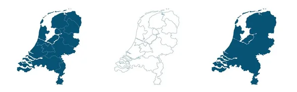
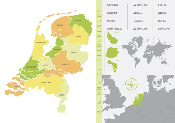
Stock vector Vector color detailed map of Netherlands with the administrative divisions of the country, each Provinces is presented separately and divided into Municipalities

Published: Jan.26, 2022 09:54:45
Author: martinova4
Views: 2
Downloads: 0
File type: vector / eps
File size: 4.93 MB
Orginal size: 7677 x 3223 px
Available sizes:
Level: beginner