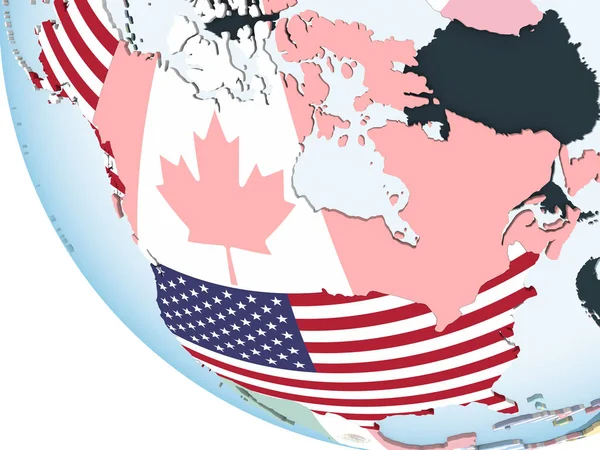
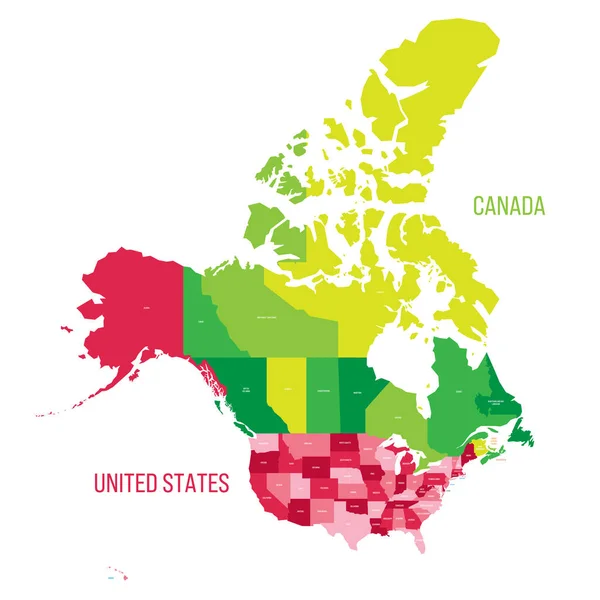
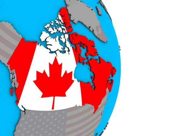
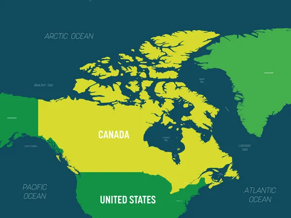
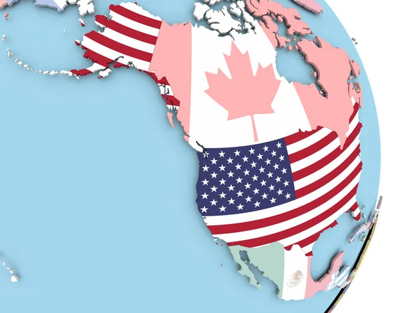
Stock vector Vector detailed map of North America and Greenland with borders and country names.

Published: Apr.29, 2016 09:41:32
Author: rikkyal
Views: 122
Downloads: 1
File type: vector / eps
File size: 4.77 MB
Orginal size: 5556 x 5556 px
Available sizes:
Level: bronze