Home
Images
Vectors
Videos
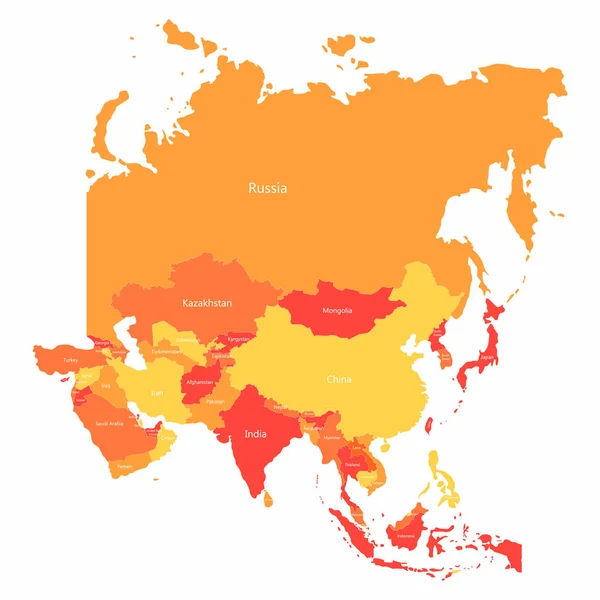
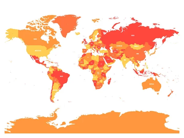
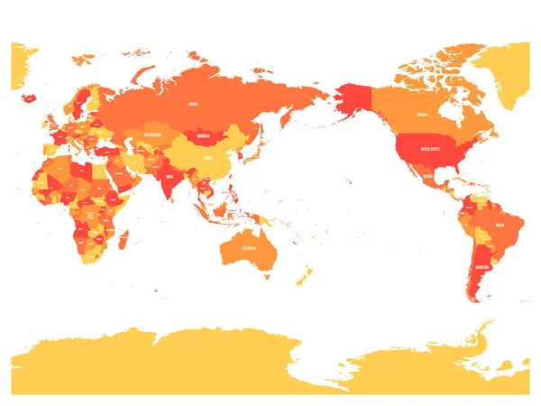
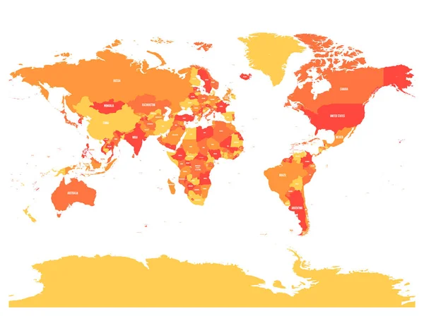
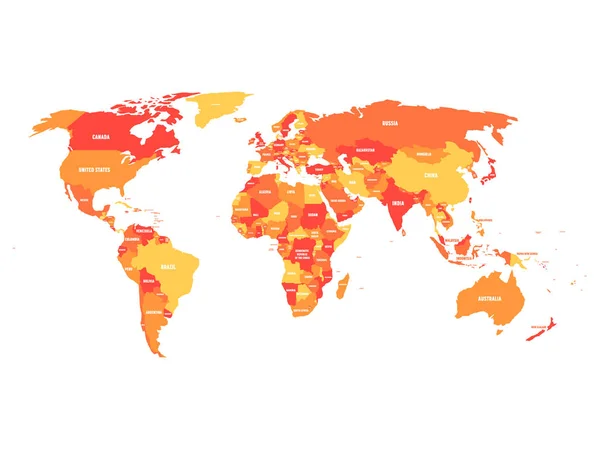
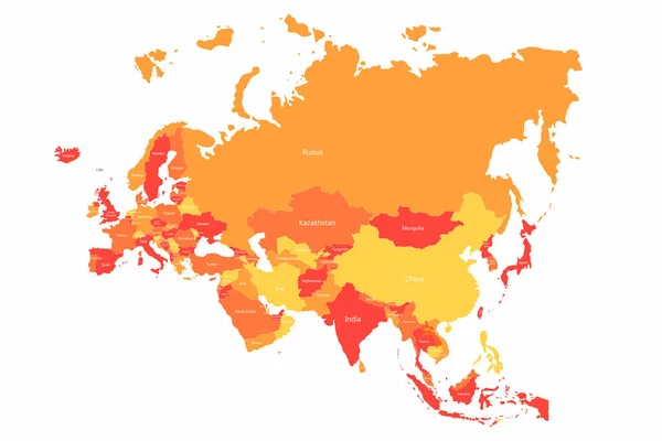
Stock vector Vector Eurasia map with countries borders. Abstract red and yellow Eurasia countries on map
Published:
Feb.26, 2018 12:56:57
Author:
Yevgenij_D
Views:
245
Downloads:
3
File type:
vector
/
eps
File size:
1.98 MB
Orginal size:
6251
x
4167
px
Available sizes:
S
(500 x 333)
M
(1000 x 667)
L
(2000 x 1333)
XL
(6251 x 4167)
VECT
(6251 x 4167)
EL0
(6251 x 4167)
Level:
bronze
Download Vector
Vector topics:
Red
Yellow
White
Vector
Colorful
Graphic
Illustration
Design
Isolated
Travel
Abstract
Transportation
Border
Symbol
Concept
Flat
Contour
Information
Education
Earth
World
Finance
Italy
France
Tourism
Europe
Globe
East
Asian
China
Russia
Country
Map
Geography
Plan
Continent
Germany
Spain
Turkey
Asia
Thailand
Japan
Borders
Political
India
Malaysia
Statistic
Indonesia
Euroasia
Infographic
Similar stock vectors
Vector Asia Map With Countries Borders. Abstract Red And Yellow Asia Countries On Map
4167 × 4167
Political Map Of World With Country Name Labelling. Vector Illustration
6000 × 4500
World Map In Four Shades Of Orange On White Background. High Detail Pacific Centered Political Map. Vector Illustration With Labeled Compound Path Of Each Country
6000 × 4500
Simplified Schematic Map Of World
8000 × 4000
Horizontally Flipped Political Map Of World. Mirror Reflection. Vector Illustration
6000 × 4485
Political Map Of World In Four Shades Of Orange With Country Name Labels. Isolated On White Background. Vector Illustration
6000 × 4500
World Map Of Coronavirus
6252 × 4168
Geopolitical World Map. High Detail Political Map With Country Names. Vector Illustration
6000 × 4485