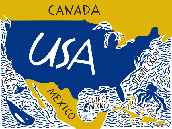
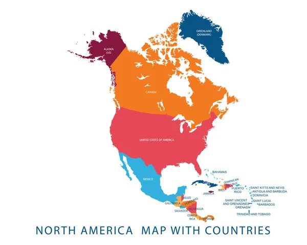
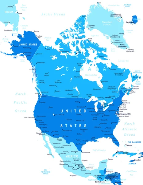
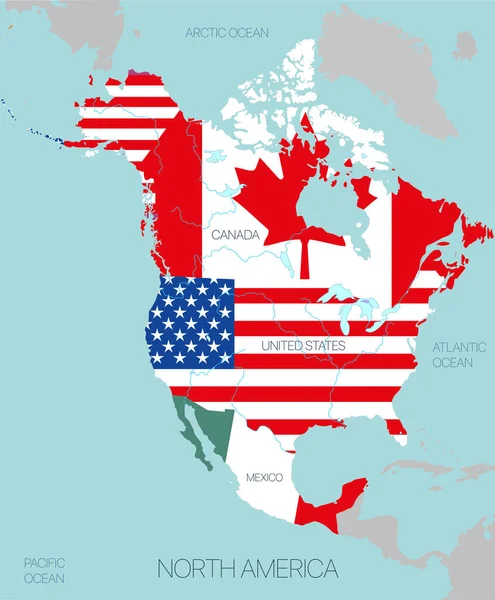
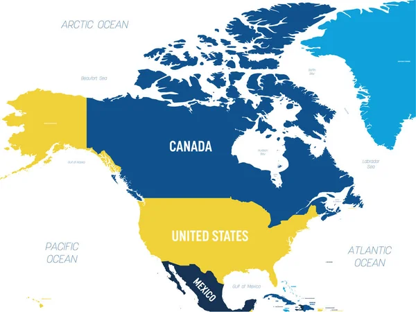
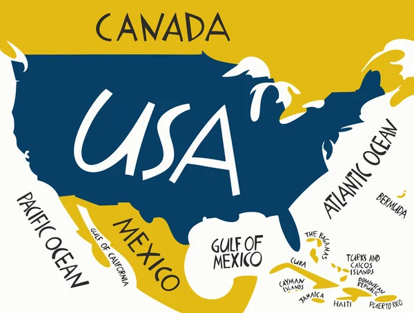
Stock vector Vector hand drawn stylized map of The United States of America. Travel illustration of USA with neighboring countries and waters. Hand drawn lettering illustration. North America map element
Published: May.26, 2020 10:39:10
Author: chipurkolubov.rambler.ru
Views: 2
Downloads: 0
File type: vector / eps
File size: 0.44 MB
Orginal size: 5280 x 4000 px
Available sizes:
Level: bronze