Home
Images
Vectors
Videos
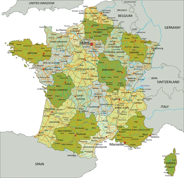
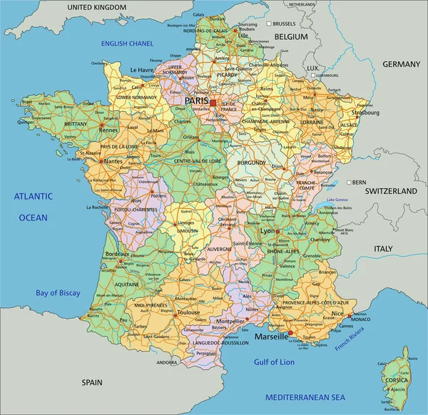
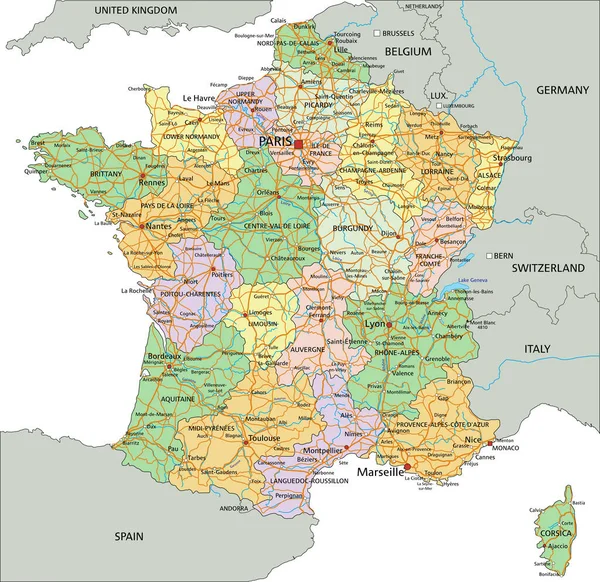
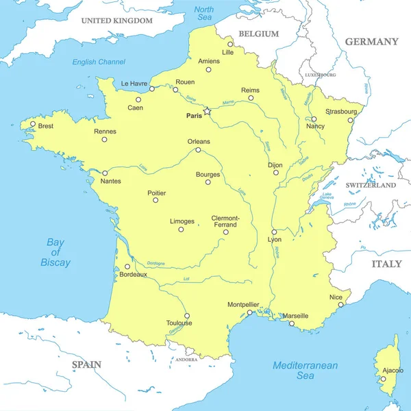
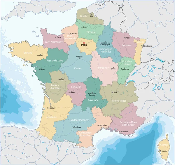
Stock vector Vector highly detailed political map of France with regions and their capitals. All elements are separated in editable layers clearly labeled. EPS 10
Published:
Jul.09, 2018 15:51:05
Author:
zlatovlaska2008
Views:
295
Downloads:
0
File type:
vector
/
eps
File size:
2.44 MB
Orginal size:
5000
x
4728
px
Available sizes:
S
(500 x 473)
M
(1000 x 946)
L
(2000 x 1891)
XL
(5000 x 4728)
VECT
(5000 x 4728)
EL0
(5000 x 4728)
Level:
beginner
Download Vector
Vector topics:
Color
Vector
Background
Colorful
Graphic
Illustration
Design
Painting
Art
Travel
Abstract
French
Line
Silhouette
Border
Flag
Symbol
Drawing
World
France
Capital
Europe
Globe
Provence
Country
Map
Cartography
Geography
National
Continent
Land
Mediterranean
Continental
State
Political
Alps
Paris
Region
Bordeaux
Territory
Province
Toulouse
Marseilles
Corsica
Territorial
Brisbane
Tasmania
Lyon
Dijon
Eiffel Tower
Similar stock vectors
Highly Detailed Editable Political Map With Separated Layers. France.
4791 × 4652
France - Highly Detailed Editable Political Map With Labeling.
4791 × 4652
France - Highly Detailed Editable Political Map With Labeling.
4791 × 4652
Highly Detailed Editable Political Map With Separated Layers. France.
4791 × 4652
Political Map Of France With National Borders, Cities And Rivers
4000 × 4000
Map Of French Republic
7001 × 6604
High Detailed France Physical Map With Labeling.
4792 × 4652
Detailed France Political Map.
4791 × 4652