photo free
Home Images Vectors Videos

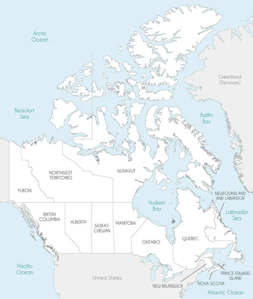
Stock vector Vector illustrated blank map of Canada with provinces and territories and administrative divisions, and neighbouring countries and territories. Editable and clearly labeled layers.

Stock vector Vector illustrated blank map of Canada with provinces and territories and administrative divisions, and neighbouring countries and territories. Editable and clearly labeled layers.
Published: Jun.16, 2022 00:01:16
Author: asantosg
Views: 1
Downloads: 0
File type: vector / eps
File size: 12.74 MB
Orginal size: 4000 x 4725 px
Available sizes:
S
(423 x 500)
M
(847 x 1000)
L
(1693 x 2000)
XL
(4000 x 4725)
VECT
(4000 x 4725)
EL0
(4000 x 4725)
Level: bronze
Download Vector
Vector topics:

Similar stock vectors

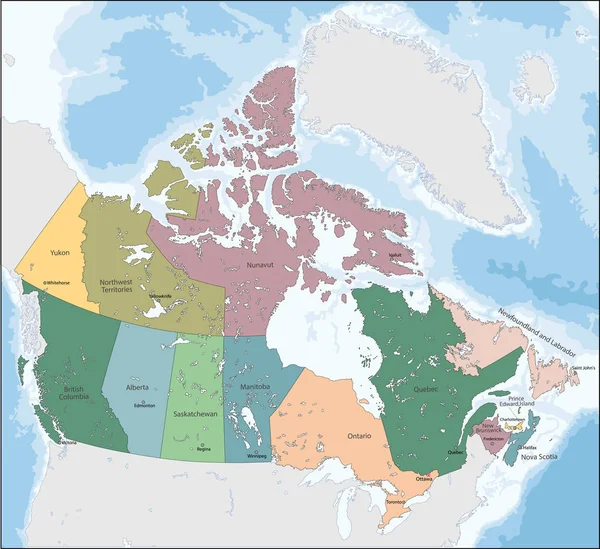
stock vector Vector illustrated map of Canada with provinces and territories and administrative divisions, and neighbouring countries and territories. Editable and clearly labeled layers.

Vector Illustrated Map Of Canada With Provinces And Territories And Administrative Divisions, And Neighbouring Countries And Territories. Editable And Clearly Labeled Layers.

4000 × 4725
stock vector Vector illustration map of Canada

Vector Illustration Map Of Canada

7012 × 6416
stock image Map of Canada on political globe

Map Of Canada On Political Globe

5000 × 3750
stock vector North America political map

North America Political Map

4926 × 4173
stock vector Vector map of Canada with provinces and territories and administrative divisions, and neighbouring countries and territories. Editable and clearly labeled layers.

Vector Map Of Canada With Provinces And Territories And Administrative Divisions, And Neighbouring Countries And Territories. Editable And Clearly Labeled Layers.

4000 × 4725
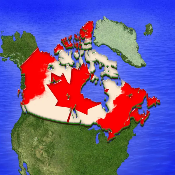
stock image 3D map of Canada painted in the colors of Canadian flag. Illustration of stylized jelly pie

3D Map Of Canada Painted In The Colors Of Canadian Flag. Illustration Of Stylized Jelly Pie

4000 × 4000
stock vector Highly detailed editable political map with separated layers. Canada.

Highly Detailed Editable Political Map With Separated Layers. Canada.

5710 × 4345