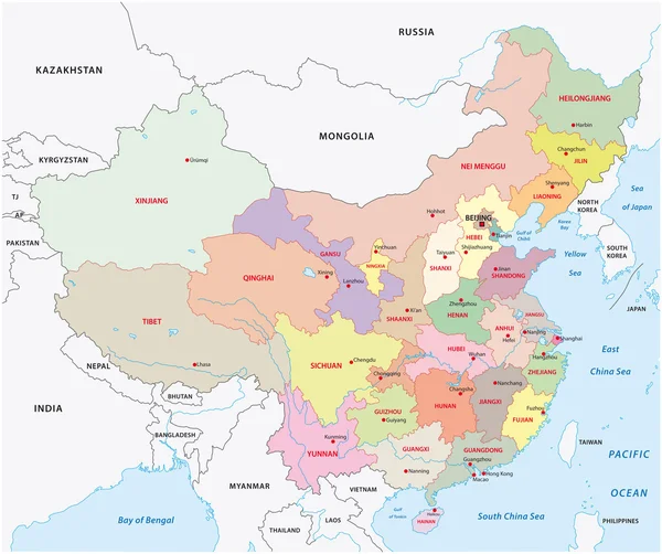
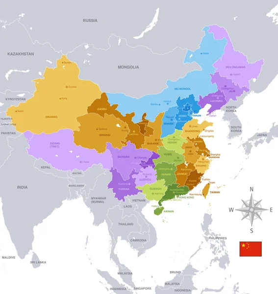
Stock vector Vector illustrated map of China with provinces, regions and administrative divisions, and neighbouring countries. Editable and clearly labeled layers.

Published: Jul.09, 2022 02:57:45
Author: asantosg
Views: 7
Downloads: 0
File type: vector / eps
File size: 11.15 MB
Orginal size: 5200 x 4000 px
Available sizes:
Level: bronze
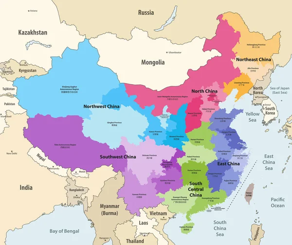
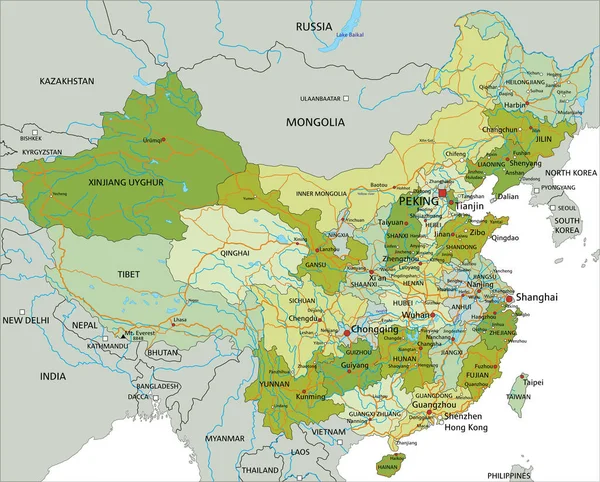
Similar stock vectors
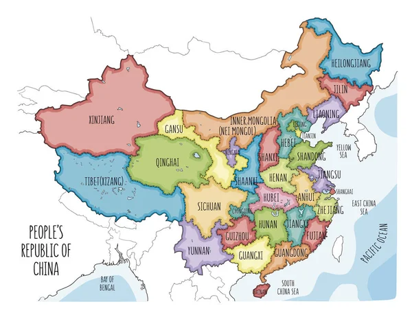
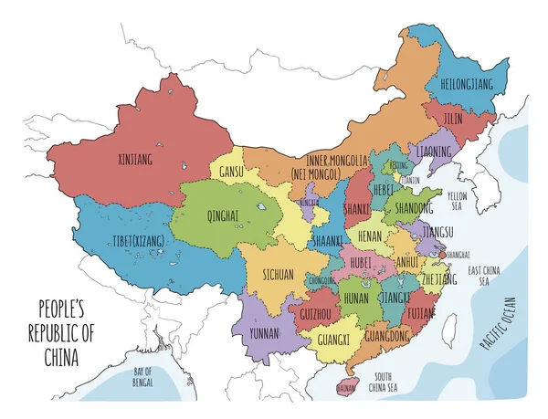
Vector Map Of The People's Republic Of China. Colorful Sketch Illustration With All Regions
6001 × 4601