photo free
Home Images Vectors Videos

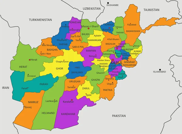
Stock vector Vector illustrated regional blank map of Afghanistan with provinces and administrative divisions, and neighbouring countries and territories. Editable and clearly labeled layers.

Stock vector Vector illustrated regional blank map of Afghanistan with provinces and administrative divisions, and neighbouring countries and territories. Editable and clearly labeled layers.
Published: Jul.09, 2024 14:45:37
Author: asantosg
Views: 0
Downloads: 0
File type: vector / eps
File size: 4.07 MB
Orginal size: 5200 x 4000 px
Available sizes:
S
(500 x 385)
M
(1000 x 769)
L
(2000 x 1538)
XL
(5200 x 4000)
VECT
(5200 x 4000)
EL0
(5200 x 4000)
Level: bronze
Download Vector
Vector topics:

Similar stock vectors

stock vector Vector illustrated blank map of Bolivia with departments and administrative divisions, and neighbouring countries. Editable and clearly labeled layers.

Vector Illustrated Blank Map Of Bolivia With Departments And Administrative Divisions, And Neighbouring Countries. Editable And Clearly Labeled Layers.

4300 × 4600
stock vector Vector illustrated regional blank map of Mongolia with provinces and administrative divisions, and neighbouring countries and territories. Editable and clearly labeled layers.

Vector Illustrated Regional Blank Map Of Mongolia With Provinces And Administrative Divisions, And Neighbouring Countries And Territories. Editable And Clearly Labeled Layers.

6000 × 4000
stock vector Vector illustrated blank map of Paraguay with departments, capital district and administrative divisions, and neighbouring countries. Editable and clearly labeled layers.

Vector Illustrated Blank Map Of Paraguay With Departments, Capital District And Administrative Divisions, And Neighbouring Countries. Editable And Clearly Labeled Layers.

4000 × 4500
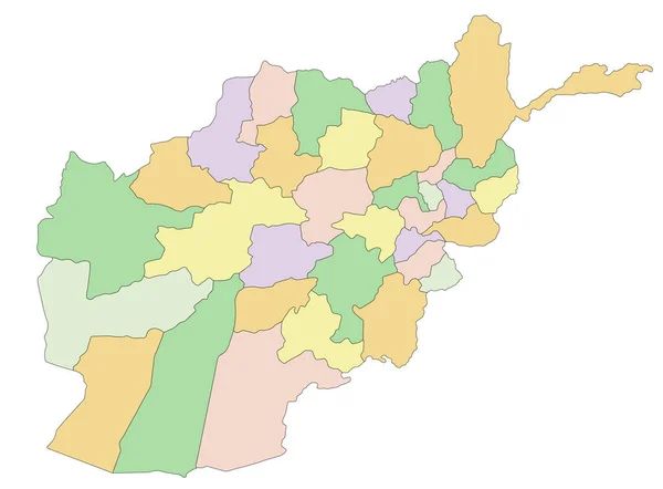
stock vector Afghanistan - Highly detailed editable political map.

Afghanistan - Highly Detailed Editable Political Map.

4001 × 2949
stock vector Vector illustrated map of Bolivia with departments and administrative divisions, and neighbouring countries. Editable and clearly labeled layers.

Vector Illustrated Map Of Bolivia With Departments And Administrative Divisions, And Neighbouring Countries. Editable And Clearly Labeled Layers.

4300 × 4600
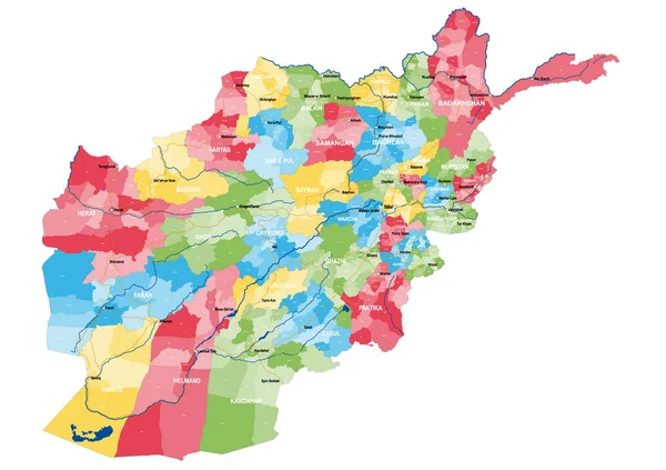
stock vector Large and detailed map of the state of Afghanistan.

Large And Detailed Map Of The State Of Afghanistan.

5000 × 3530
stock vector Colorful Afghanistan political map with clearly labeled, separated layers. Vector illustration.

Colorful Afghanistan Political Map With Clearly Labeled, Separated Layers. Vector Illustration.

4001 × 2949
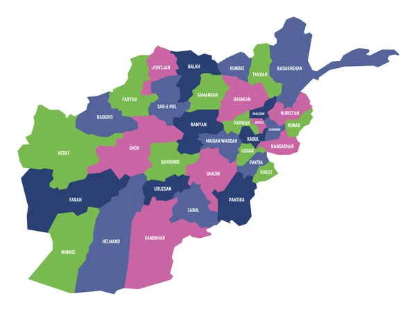
stock vector Afghanistan - map of provinces

Afghanistan - Map Of Provinces

8000 × 6000