photo free
Home Images Vectors Videos

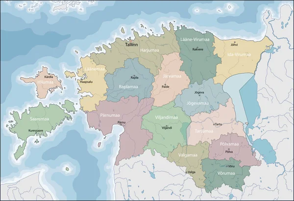
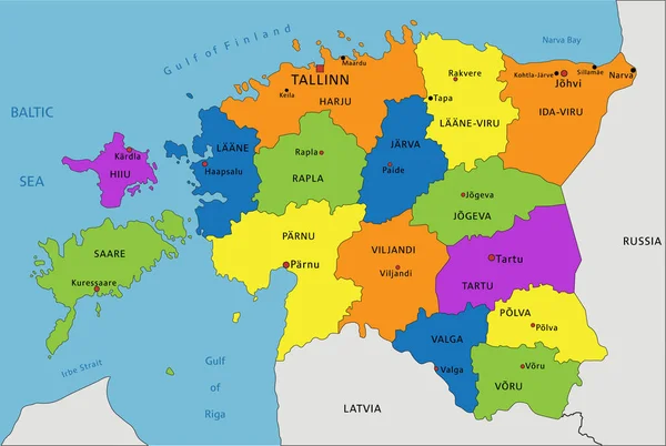
Stock vector Vector illustrated regional map of Estonia with counties and administrative divisions, and neighbouring countries and territories. Editable and clearly labeled layers.

Stock vector Vector illustrated regional map of Estonia with counties and administrative divisions, and neighbouring countries and territories. Editable and clearly labeled layers.
Published: Jul.02, 2024 13:52:01
Author: asantosg
Views: 0
Downloads: 0
File type: vector / eps
File size: 3.08 MB
Orginal size: 6000 x 4000 px
Available sizes:
S
(500 x 333)
M
(1000 x 667)
L
(2000 x 1333)
XL
(6000 x 4000)
VECT
(6000 x 4000)
EL0
(6000 x 4000)
Level: bronze
Download Vector
Vector topics:

Similar stock vectors

stock vector Vector illustrated map of South Korea with provinces, metropolitan cities and administrative divisions, and neighbouring countries. Editable and clearly labeled layers.

Vector Illustrated Map Of South Korea With Provinces, Metropolitan Cities And Administrative Divisions, And Neighbouring Countries. Editable And Clearly Labeled Layers.

4600 × 5000
stock vector Tokushima Japan Map Colorful Icons

Tokushima Japan Map Colorful Icons

5246 × 3544
stock vector Map of Estonia

Map Of Estonia

7001 × 4807
stock vector Shizuoka Japan Map Colorful Icons

Shizuoka Japan Map Colorful Icons

5246 × 3544
stock vector Kyoto Japan Map Colorful Icons

Kyoto Japan Map Colorful Icons

5246 × 3544
stock vector Hiroshima Japan Map Colorful Icons

Hiroshima Japan Map Colorful Icons

5246 × 3544
stock vector Accurate map of Estonia

Accurate Map Of Estonia

5000 × 4000
stock vector Colorful Estonia political map with clearly labeled, separated layers. Vector illustration.

Colorful Estonia Political Map With Clearly Labeled, Separated Layers. Vector Illustration.

3002 × 2015