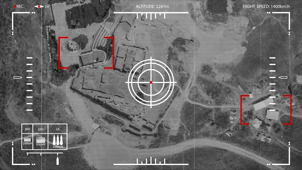
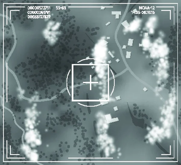
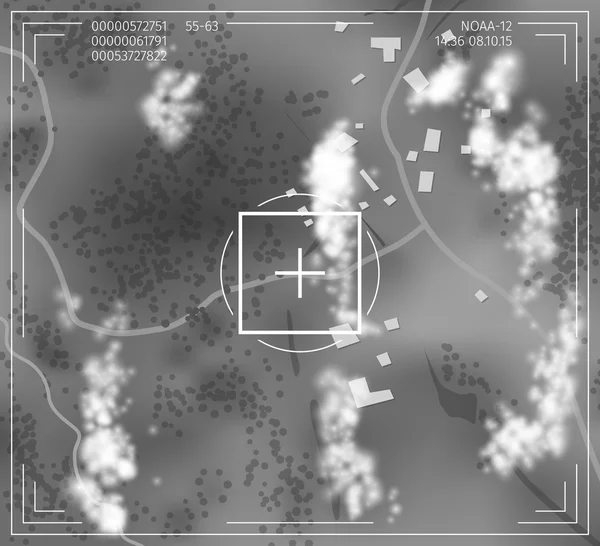
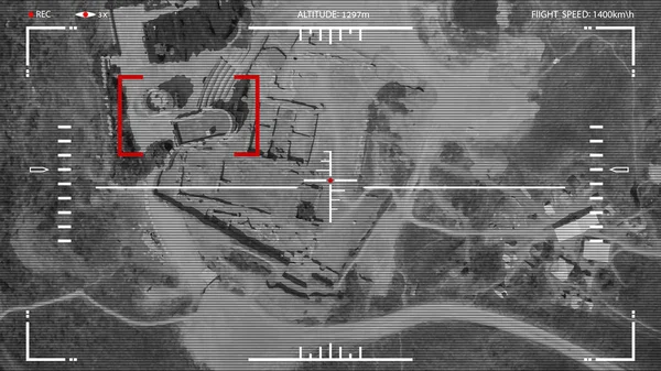
Stock vector Vector illustration. Attack drone. Viewfinder combat drone.
Published: Jun.11, 2020 11:42:36
Author: Faraoshka
Views: 80
Downloads: 3
File type: vector / eps
File size: 14.62 MB
Orginal size: 7111 x 4000 px
Available sizes:
Level: beginner