Home
Images
Vectors
Videos
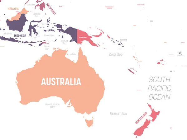
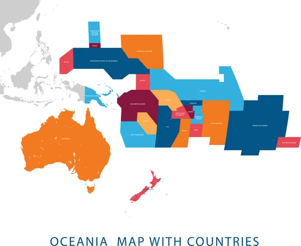
Stock vector Vector illustration design of continent Oceania map with countries name and border,for website,template,wallpaper,brochure,leaflet,flyer,banner,presentation,projects
Published:
Apr.10, 2020 08:35:44
Author:
heenal
Views:
2
Downloads:
0
File type:
vector
/
eps
File size:
8.26 MB
Orginal size:
5134
x
4189
px
Available sizes:
S
(500 x 408)
M
(1000 x 816)
L
(2000 x 1632)
XL
(5134 x 4189)
VECT
(5134 x 4189)
EL0
(5134 x 4189)
Level:
bronze
Download Vector
Vector topics:
White
Background
Colorful
Graphic
Design
Set
Business
Label
New
Travel
Abstract
Border
Flag
Banner
Creative
Concept
Icon
Earth
Web
Stock
Template
Detailed
North
Europe
Globe
South
Outline
Country
Map
Cartography
Geography
National
Continent
Land
Worldwide
State
Various
Chart
Emblem
International
Political
United
Official
Reports
Atlas
Zone
Nation
Regions
Signs And Symbols
Similar stock vectors
Southeast Asia Map. High Detailed Political Map Of Southeastern Region With Country, Ocean And Sea Names Labeling
6000 × 4500
Southeast Asia Map - Brown Orange Hue Colored On Dark Background. High Detailed Political Map Of Southeastern Region With Country, Ocean And Sea Names Labeling
6000 × 4500
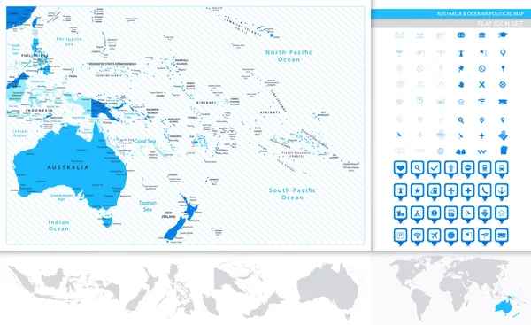
Australia And Oceania Blank Map. High Detailed Political Map Of Australian And Pacific Region
8000 × 6000
Southeast Asia Map. High Detailed Political Map Of Southeastern Region With Country, Capital, Ocean And Sea Names Labeling
6000 × 4500
Australia And Oceania Map. High Detailed Political Map Of Australian And Pacific Region With Country, Ocean And Sea Names Labeling
6000 × 4500
Australia And Oceania Map In Colors Of Blue And Map Pointers Col
8192 × 5026
Papua New Guinea Detailed Administrative Blue Map With Country Flag And Location On The World Map.
6277 × 5251
Vector Map Of The 20 Largest Coffee Producing Countries
6403 × 4396