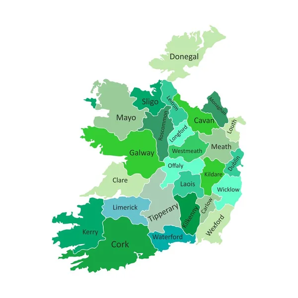
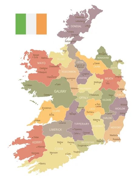
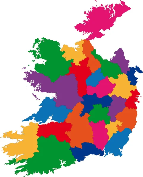
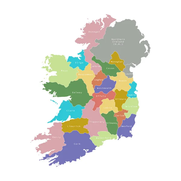
Stock vector Vector illustration of administrative division map of Ireland.
Published: Nov.08, 2019 10:19:11
Author: kolibrico
Views: 9
Downloads: 0
File type: vector / eps
File size: 1.87 MB
Orginal size: 4500 x 4500 px
Available sizes:
Level: beginner