Home
Images
Vectors
Videos
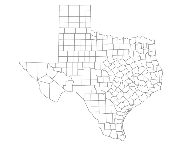
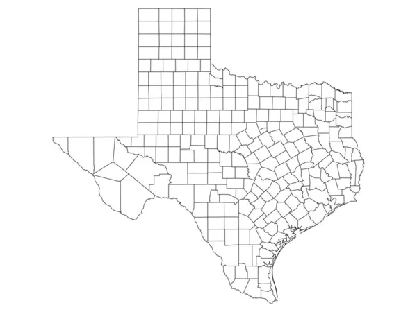
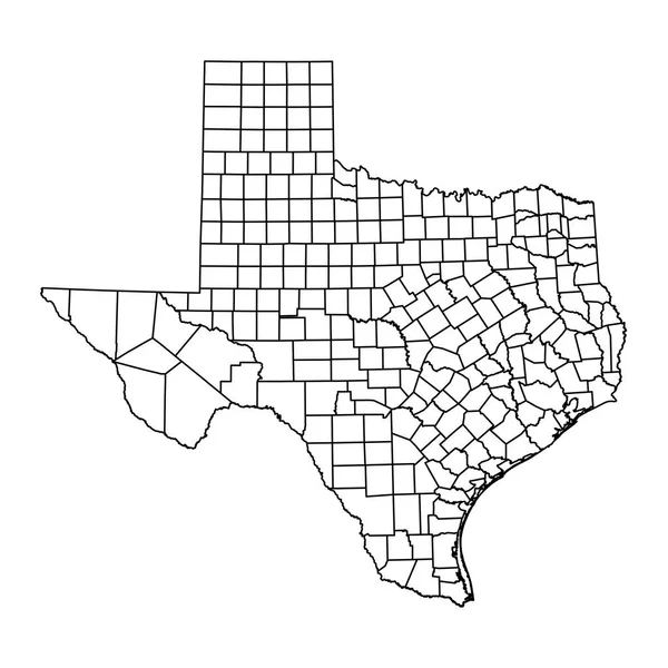
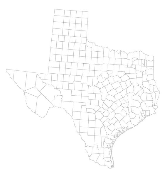
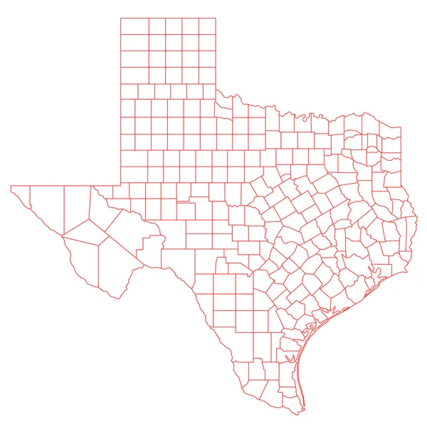
Stock vector Vector illustration of administrative division map of Texas. Vector map.
Published:
Mar.23, 2020 18:30:56
Author:
kolibrico
Views:
22
Downloads:
3
File type:
vector
/
eps
File size:
1.73 MB
Orginal size:
4500
x
4500
px
Available sizes:
S
(500 x 500)
M
(1000 x 1000)
L
(2000 x 2000)
XL
(4500 x 4500)
VECT
(4500 x 4500)
EL0
(4500 x 4500)
Level:
beginner
Download Vector
Vector topics:
Vector
Graphic
Isolated
Shape
Line
Silhouette
Border
Data
Contour
Information
American
Us
Usa
North
Outline
Country
Map
Cartography
Geography
Area
National
Land
State
Texas
America
Boundary
Government
Political
Administrative
United
Official
Division
Info
Territory
Nation
County
Austin
Houston
Mapping
Regional
Provinces
Regions
Departments
Municipalities
United States
Texas Map
Texas County
Texas Administrative
Texas Municipalities
Similar stock vectors
Accurate Map Of Texas
5000 × 4000
White Outline Counties Map Of US State Of Texas
4800 × 3600
Texas State Map With Counties. Vector Illustration.
8334 × 8334
Accurate Map Of Texas
5000 × 4000
Highly Detailed Texas Blind Map.
5811 × 6125
Texas Map
6000 × 6000
Gray Outline Counties Map Of US State Of Texas
4800 × 3600
Gray Vector Administrative Map Of The Federal State Of Texas, USA With White Borders Of Its Counties
4656 × 5206