Home
Images
Vectors
Videos
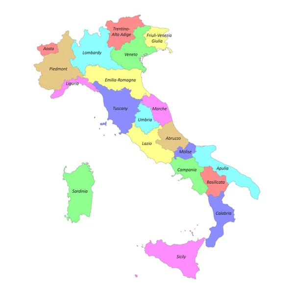
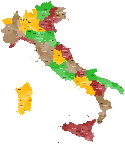
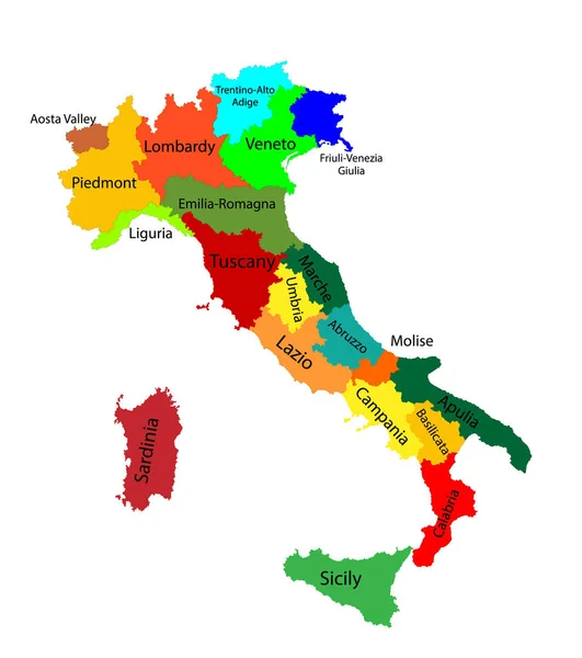
Stock vector Vector illustration of administrative regions of Italy
Published:
Oct.13, 2020 06:55:48
Author:
Volina
Views:
31
Downloads:
2
File type:
vector
/
eps
File size:
4.98 MB
Orginal size:
5901
x
7001
px
Available sizes:
S
(421 x 500)
M
(843 x 1000)
L
(1686 x 2000)
XL
(5901 x 7001)
VECT
(5901 x 7001)
EL0
(5901 x 7001)
Level:
silver
Download Vector
Vector topics:
Illustration
European
Border
City
Contour
Italy
Italian
Europe
Country
District
Map
Geography
Continent
Location
Rome
Boundary
Political
Administrative
Sardinia
Region
Division
Atlas
Sicily
Province
Territories
Politically
Southern Europe
Geographically
Italian Peninsula
Similar stock vectors
Vector Blank Map Of Italy With Regions And Administrative Divisions. Editable And Clearly Labeled Layers.
4000 × 4725
High Quality Colorful Labeled Map Of Italy With Borders Of The Regions
4000 × 4000
Map Of Italy
4286 × 5000
Map Of Italy
3900 × 4650
Colorful Map Of Italy Vector Silhouette Illustration Isolated On White Background. Autonomous Communities Of Italy. Detailed Italian Regions Administrative Divisions, Separated Provinces. Outline Map.
4599 × 5187
Map Of Italy
4000 × 5000
Editable Colorful Vector Map Of Italy. Vector Map Of Italy Isolated On Background. High Detailed. Autonomous Communities Of Italy. Administrative Divisions Of Italy, Separated Provinces. Outline Map.
5321 × 6001
Map Of Italy
4000 × 5000