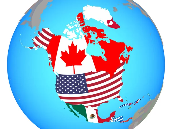
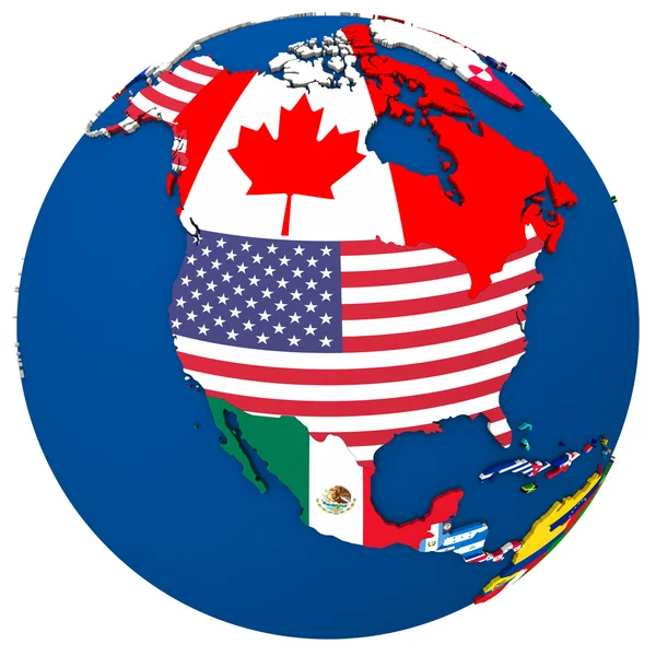
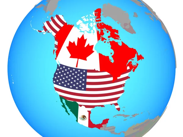
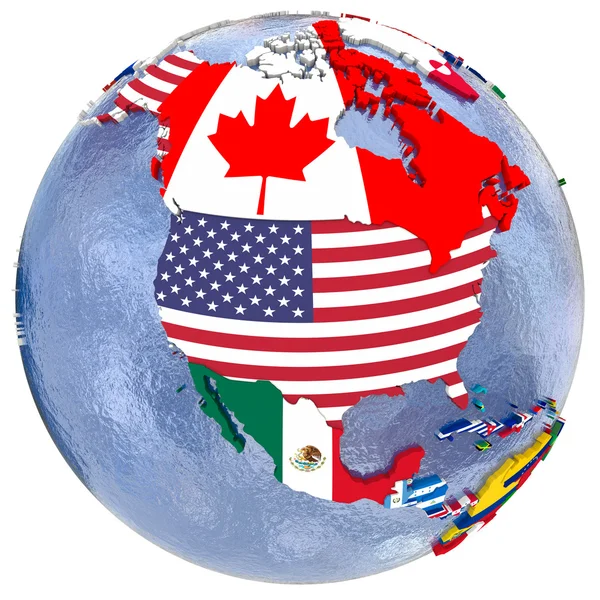
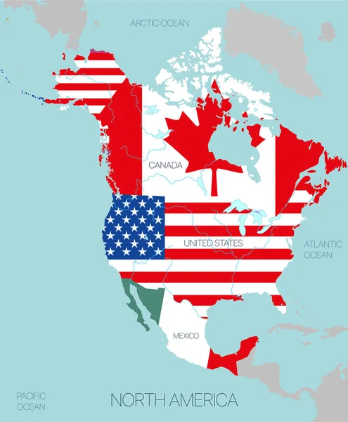
Stock vector vector illustration of North America map (include Northern America, Central America and Caribbean regions) with country names and flags of countries.

Published: Feb.12, 2018 11:54:46
Author: Jktu_21
Views: 1136
Downloads: 4
File type: vector / eps
File size: 12.4 MB
Orginal size: 8334 x 7596 px
Available sizes:
Level: silver