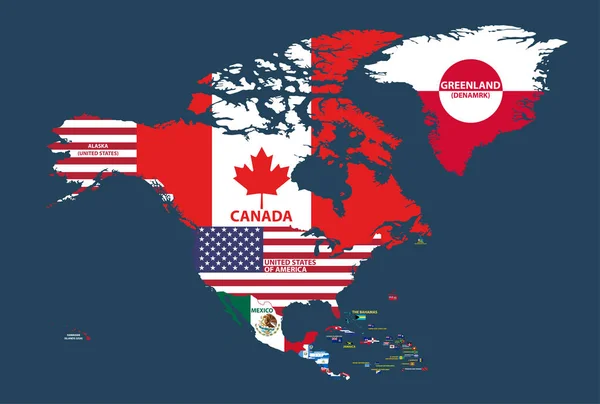
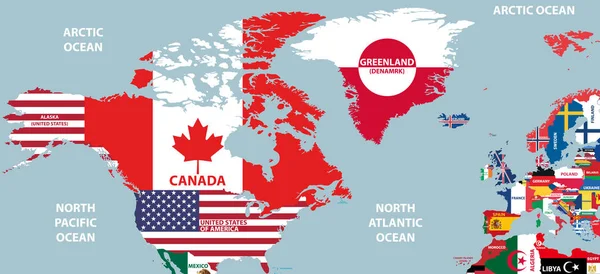
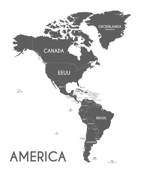
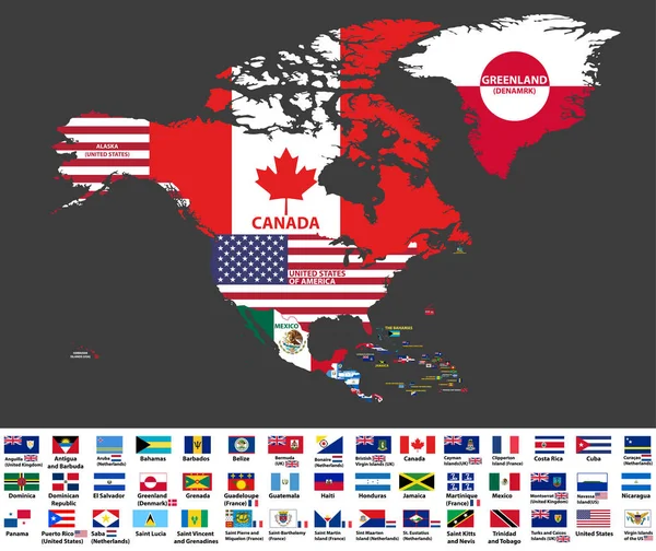
Stock vector vector illustration of North America map (include Northern America, Central America and Caribbean regions) with country names and flags of countries.
Published: Feb.12, 2018 11:54:46
Author: Jktu_21
Views: 453
Downloads: 3
File type: vector / eps
File size: 13.27 MB
Orginal size: 8334 x 7009 px
Available sizes:
Level: silver
Similar stock vectors
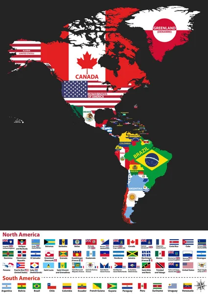
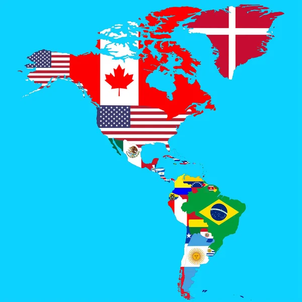
Vector Illustration Of North And South America Map With Country Names And Flags Of Countries
5917 × 8334