Home
Images
Vectors
Videos
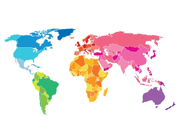
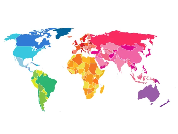
Stock vector Vector illustration of World map with different colored countries and continents
Published:
Jul.06, 2017 08:27:10
Author:
LiluArt
Views:
125
Downloads:
0
File type:
vector
/
eps
File size:
4.63 MB
Orginal size:
8011
x
4169
px
Available sizes:
S
(500 x 260)
M
(1000 x 520)
L
(2000 x 1041)
XL
(8011 x 4169)
VECT
(8011 x 4169)
EL0
(8011 x 4169)
Level:
bronze
Download Vector
Vector topics:
Color
Vector
Background
Generated
Graphic
Illustration
Design
Isolated
Travel
Border
Symbol
Elements
City
Communications
Global
Physical
Contour
Education
Earth
World
Digitally
Ocean
Science
North
Europe
Globe
East
Country
Map
Cartography
Geography
Africa
Continent
Land
Asia
Topography
America
International
Australia
Official
Atlas
Hemisphere
Capitals
Similar stock vectors
Political World Map. Detailed Of Rainbow Colors.
3000 × 2250
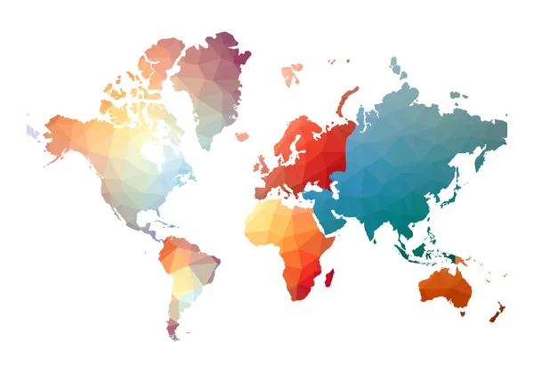
World Map With Colorful Countries Atlas. EPS10 Vector File Organized In Layers For Easy Editing.
3000 × 2250
World Map Bizarre Low Poly Style Vector Illustration
6550 × 4585
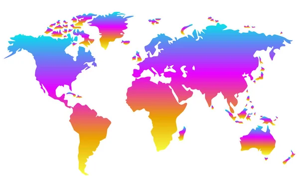
Colorful Gradient World Map Isolated On White Background, Flat Earth. Vector Illustration
5377 × 3361
Colorful Gradient World Map
4670 × 2512
Colourful Watercolour Map Design Of World Map Isolated On White Background - Vector Illustration
4900 × 3873
Colored Map Of World On White Background
5696 × 3865
Vector Silhouette Of World Map. Splash Paint
5500 × 4000