Home
Images
Vectors
Videos
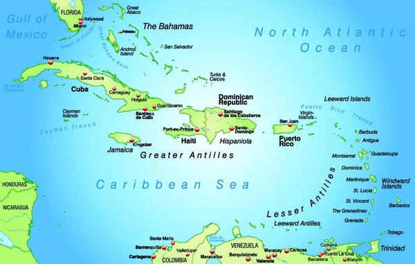
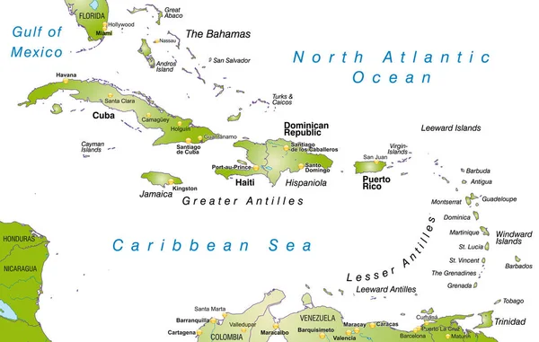
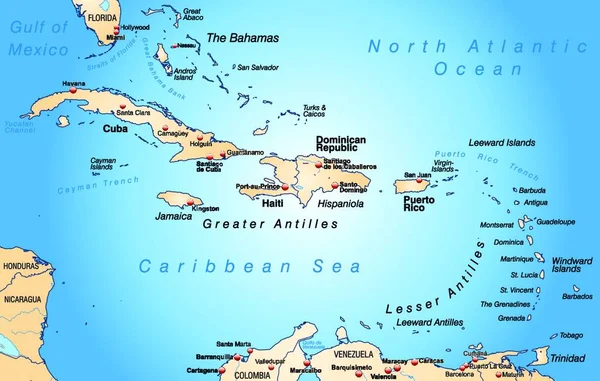
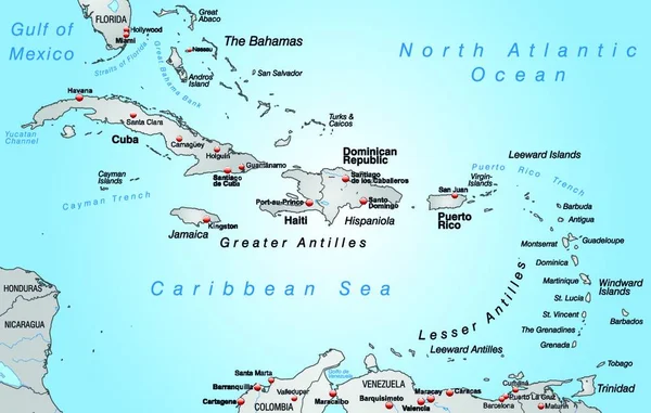
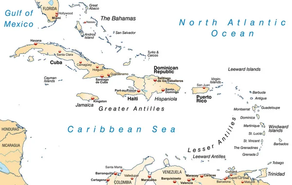
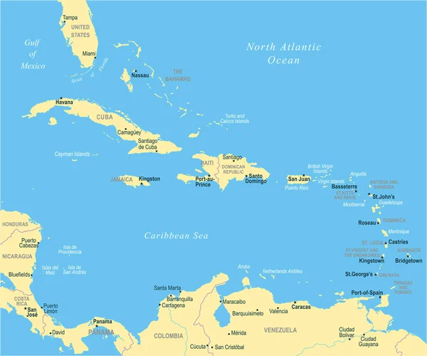
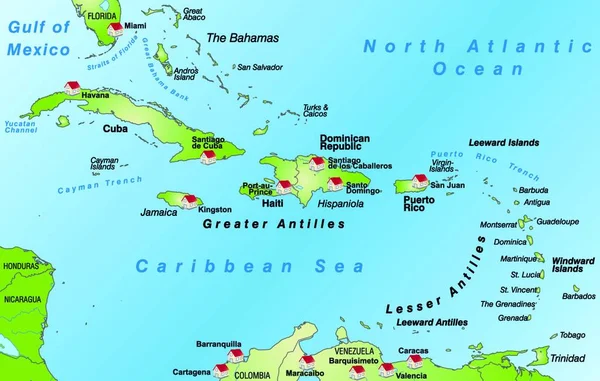
Stock vector vector illustration on map on atlas
Published:
Jul.30, 2020 17:21:47
Author:
PantherMediaSeller
Views:
34
Downloads:
0
File type:
vector
/
zip
File size:
0 MB
Orginal size:
6808
x
4328
px
Available sizes:
S
(500 x 318)
M
(1000 x 636)
L
(2000 x 1271)
XL
(6808 x 4328)
VECT
(6808 x 4328)
EL0
(6808 x 4328)
Level:
platinum
Download Vector
Vector topics:
Green
Blue
Vector
Background
Illustration
Design
Travel
Transport
Transportation
Sea
European
Border
Card
Traffic
City
Network
Earth
Planet
Ocean
Tourism
Highway
Capital
Europe
South
Country
Map
Cartography
Geography
National
Land
Greece
State
Topography
Motorway
Borders
Island
English
Atlas
Orientation
Bridgetown
Canton
Cantons
Willemstad
Map Of The World
Lesser Antilles
Virgin Islands
Caribbean Islands
Thruways
Similar stock vectors
The Map Is Modern In Design And Contains All The Important Topographical Information
6808 × 4328
Map Of West Indies As An Overview Map In Green
5019 × 3189
Scenic View Of Traffic Road Infrastructure
6808 × 4328
Map Of Antilles As A Map In Pastel Green
5019 × 3189
Vector Illustration On Map On Atlas
6808 × 4328
Map Of West Indies As Outline Map In Pastel Orange
5019 × 3189
The Caribbean Map - Vector Illustration
6598 × 5500
The Card Is Modern And Pictorially Illustrates ... The Card Can Be Used Immediately And Is Optimized For Printing And Application In Digital Medien..der Color Mode Is Rgb.
6808 × 4328