Home
Images
Vectors
Videos
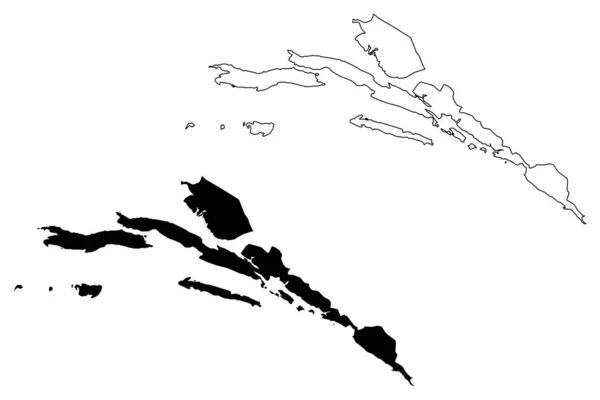
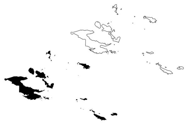
Stock vector Vector map Bahamas. Isolated vector Illustration. Black on White background. EPS 10 Illustration.
Published:
Mar.13, 2019 12:53:08
Author:
VectorMap
Views:
2
Downloads:
1
File type:
vector
/
eps
File size:
0.54 MB
Orginal size:
5000
x
5000
px
Available sizes:
S
(500 x 500)
M
(1000 x 1000)
L
(2000 x 2000)
XL
(5000 x 5000)
VECT
(5000 x 5000)
EL0
(5000 x 5000)
Level:
beginner
Download Vector
Vector topics:
Color
White
Blue
Vector
Background
Graphic
Illustration
Design
High
Isolated
Transparent
Shape
Single
Art
Travel
Abstract
Texture
Black
Cut
Line
Silhouette
Border
Symbol
Village
Concept
Idea
Icon
City
Contour
Education
Earth
World
Surface
Detailed
Town
Capital
North
Outline
Country
District
Map
Cartography
Geography
National
Land
Place
America
Nation
Bahamas
Nassau
Similar stock vectors
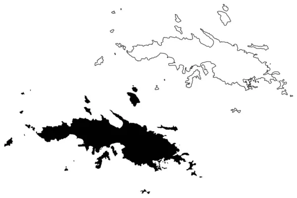
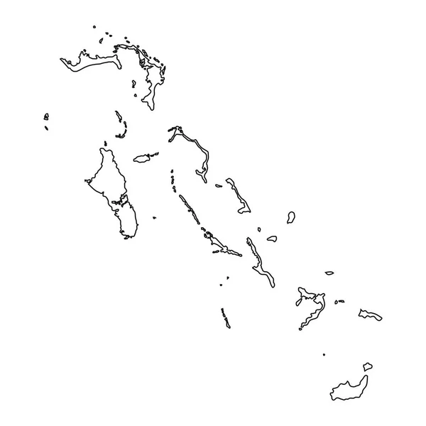
White Vector Map Of The Commonwealth Of The Bahamas With Black Borders Of It's Districts
5402 × 4600
Milne Bay Province (Independent State Papua New Guinea) Map Vector Illustration, Scribble Sketch D'Entrecasteaux Islands, Trobriand Islands, Woodlark, Louisiade Archipelago, Tagula, Misima Ma
7087 × 4726
High Detailed Vector Map Bahamas
8334 × 8334
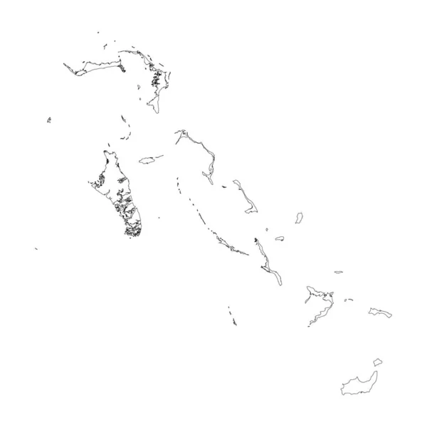
Bahamas Country Thin Black Outline. High Detailed Map. Vector Illustration Isolated On White Background.
8000 × 8000
Vector Map Bahamas. Isolated Vector Illustration. Black On White Background. EPS 10 Illustration.
5000 × 5000
Dubrovnik-Neretva County (Counties Of Croatia, Republic Of Croatia) Map Vector Illustration, Scribble Sketch Dubrovnik Neretva (Korcula, Lastovo, Mljet, Sipan, Lopud And Kolocep Island) Map
7087 × 4726
Bahamas Vector Map Silhouette Isolated On White Background. High Detailed Illustration. Paradise Island Symbol.
4000 × 4000
Saint Thomas District, United States Virgin Islands (U.S. County, United States Of America, USA, U.S., US) Map Vector Illustration, Scribble Sketch St. Thomas Island Map
7087 × 4726