photo free
Home Images Vectors Videos

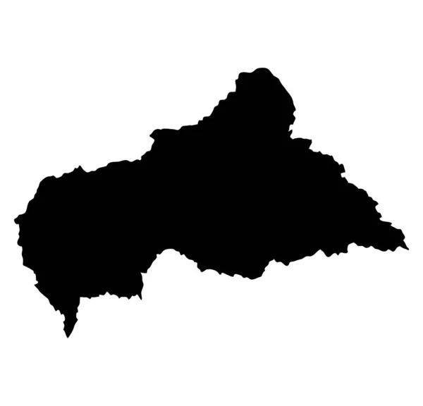
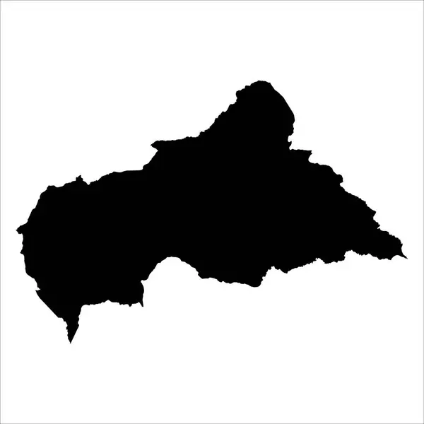
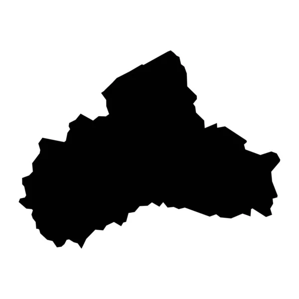
Stock vector Vector map Central African Republic. Isolated vector Illustration. Black on White background. EPS 10 Illustration.

Stock vector Vector map Central African Republic. Isolated vector Illustration. Black on White background. EPS 10 Illustration.
Published: Dec.26, 2017 10:42:26
Author: VectorMap
Views: 4
Downloads: 0
File type: vector / eps
File size: 0.59 MB
Orginal size: 5000 x 5000 px
Available sizes:
S
(500 x 500)
M
(1000 x 1000)
L
(2000 x 2000)
XL
(5000 x 5000)
VECT
(5000 x 5000)
EL0
(5000 x 5000)
Level: beginner
Download Vector
Vector topics:

Similar stock vectors

stock vector central african republic island map silhouette

Central African Republic Island Map Silhouette

7976 × 7668
stock vector Central African Republic Map. Centrafrique Country Map. CAR Black and White National Outline Geography Border Boundary Shape Territory EPS Vector Illustration Clipart

Central African Republic Map. Centrafrique Country Map. CAR Black And White National Outline Geography Border Boundary Shape Territory EPS Vector Illustration Clipart

5000 × 4000
stock vector Bryansk map silhouette vector isolated on white background. High detailed illustration. Russia oblast map. Bryanskaya oblast map.

Bryansk Map Silhouette Vector Isolated On White Background. High Detailed Illustration. Russia Oblast Map. Bryanskaya Oblast Map.

6001 × 5412
stock vector Central African Republic map

Central African Republic Map

5000 × 5000
stock vector High detailed vector map. Central African Republic. New Map 2023.

High Detailed Vector Map. Central African Republic. New Map 2023.

10004 × 10004
stock vector Vector map Slovenia. Isolated vector Illustration. Black on White background. EPS 10 Illustration.

Vector Map Slovenia. Isolated Vector Illustration. Black On White Background. EPS 10 Illustration.

5000 × 5000
stock vector Centru development region map, region of Romania. Vector illustration.

Centru Development Region Map, Region Of Romania. Vector Illustration.

8334 × 8334
stock vector Armagh City, Banbridge and Craigavon map, administrative district of Northern Ireland. Vector illustration.

Armagh City, Banbridge And Craigavon Map, Administrative District Of Northern Ireland. Vector Illustration.

8334 × 8334