photo free
Home Images Vectors Videos

Stock vector Vector map East Timor. Isolated vector Illustration. Black on White background. EPS 10 Illustration.

Stock vector Vector map East Timor. Isolated vector Illustration. Black on White background. EPS 10 Illustration.
Published: Mar.13, 2019 13:04:41
Author: VectorMap
Views: 8
Downloads: 0
File type: vector / eps
File size: 0.92 MB
Orginal size: 5000 x 5000 px
Available sizes:
S
(500 x 500)
M
(1000 x 1000)
L
(2000 x 2000)
XL
(5000 x 5000)
VECT
(5000 x 5000)
EL0
(5000 x 5000)
Level: beginner
Download Vector
Vector topics:

Similar stock vectors

stock vector Vector map Grenada. Isolated vector Illustration. Black on White background. EPS 10 Illustration.

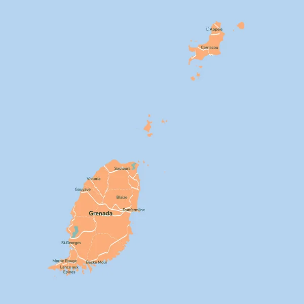
Vector Map Grenada. Isolated Vector Illustration. Black On White Background. EPS 10 Illustration.

5000 × 5000
stock vector Vector map Fiji. Isolated vector Illustration. Black on White background. EPS 10 Illustration.

Vector Map Fiji. Isolated Vector Illustration. Black On White Background. EPS 10 Illustration.

5000 × 5000
stock vector Vector map Cuba. Isolated vector Illustration. Black on White background. EPS 10 Illustration.

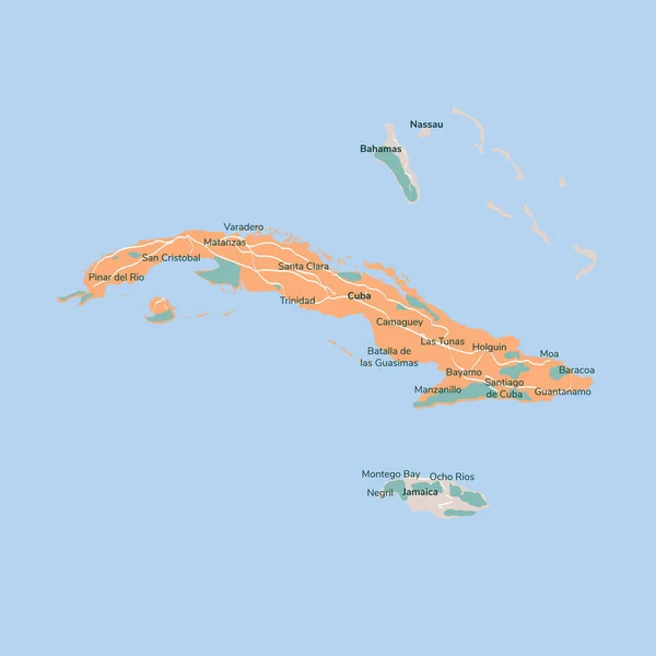
Vector Map Cuba. Isolated Vector Illustration. Black On White Background. EPS 10 Illustration.

5000 × 5000
stock vector Vector map Cyprus. Isolated vector Illustration. Black on White background. EPS 10 Illustration.

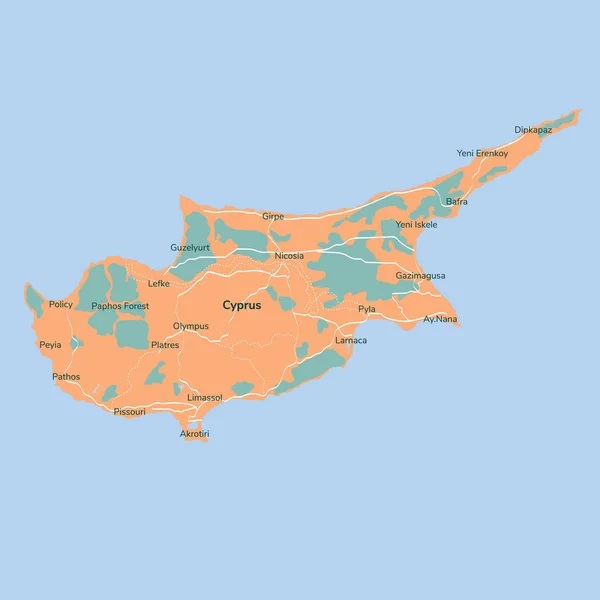
Vector Map Cyprus. Isolated Vector Illustration. Black On White Background. EPS 10 Illustration.

5000 × 5000
stock image Shape of Kalimantan Timur, province of Indonesia, with its capital isolated on a solid color background. Colored elevation map. 3D rendering

Shape Of Kalimantan Timur, Province Of Indonesia, With Its Capital Isolated On A Solid Color Background. Colored Elevation Map. 3D Rendering

3417 × 3836
stock image Area of Zabaykal'ye, territory of Russia, isolated on a solid background in a georeferenced bounding box. Labels. Colored elevation map. 3D rendering

Area Of Zabaykal'ye, Territory Of Russia, Isolated On A Solid Background In A Georeferenced Bounding Box. Labels. Colored Elevation Map. 3D Rendering

2880 × 1620
stock vector Vector map Dominican Republic. Isolated vector Illustration. Black on White background. EPS 10 Illustration.

Vector Map Dominican Republic. Isolated Vector Illustration. Black On White Background. EPS 10 Illustration.

5000 × 5000
stock image Cyprus area on the satellite B map in the stereographic projection - raw composition of raster layers with dark glowing outline

Cyprus Area On The Satellite B Map In The Stereographic Projection - Raw Composition Of Raster Layers With Dark Glowing Outline

2880 × 1620