photo free
Home Images Vectors Videos

Stock vector Vector map Equatorial Guinea. Isolated vector Illustration. Black on White background. EPS 10 Illustration.
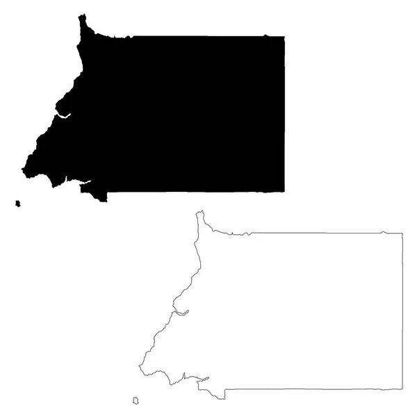
Stock vector Vector map Equatorial Guinea. Isolated vector Illustration. Black on White background. EPS 10 Illustration.
Published: Mar.13, 2019 12:53:09
Author: VectorMap
Views: 0
Downloads: 0
File type: vector / eps
File size: 0.42 MB
Orginal size: 5000 x 5000 px
Available sizes:
S
(500 x 500)
M
(1000 x 1000)
L
(2000 x 2000)
XL
(5000 x 5000)
VECT
(5000 x 5000)
EL0
(5000 x 5000)
Level: beginner
Download Vector
Vector topics:

Similar stock vectors

stock vector Wright County, Minnesota (U.S. county, United States of America, USA, U.S., US) map vector illustration, scribble sketch Wright map

Wright County, Minnesota (U.S. County, United States Of America, USA, U.S., US) Map Vector Illustration, Scribble Sketch Wright Map

7087 × 4726
stock vector Laayoune-Sakia El Hamra Region map vecto

Laayoune-Sakia El Hamra Region Map Vecto

7087 × 4726
stock vector Shasta County, California map vector

Shasta County, California Map Vector

7087 × 4726
stock vector Chattahoochee County, Georgia (U.S. county, United States of America,USA, U.S., US) map vector illustration, scribble sketch Cusseta-Chattahoochee map

Chattahoochee County, Georgia (U.S. County, United States Of America,USA, U.S., US) Map Vector Illustration, Scribble Sketch Cusseta-Chattahoochee Map

7087 × 4726
stock vector Clear Creek County, Colorado (U.S. county, United States of America,USA, U.S., US) map vector illustration, scribble sketch Clear Creek map

Clear Creek County, Colorado (U.S. County, United States Of America,USA, U.S., US) Map Vector Illustration, Scribble Sketch Clear Creek Map

7087 × 4726
stock vector Garfield County, Montana (U.S. county, United States of America, USA, U.S., US) map vector illustration, scribble sketch Garfield map

Garfield County, Montana (U.S. County, United States Of America, USA, U.S., US) Map Vector Illustration, Scribble Sketch Garfield Map

7087 × 4726
stock vector Kavango West Region (Regions of Namibia, Republic of Namibia) map vector illustration, scribble sketch Kavango West map

Kavango West Region (Regions Of Namibia, Republic Of Namibia) Map Vector Illustration, Scribble Sketch Kavango West Map

7087 × 4726
stock vector Clay County, Florida (U.S. county, United States of America,USA, U.S., US) map vector illustration, scribble sketch Clay map

Clay County, Florida (U.S. County, United States Of America,USA, U.S., US) Map Vector Illustration, Scribble Sketch Clay Map

7087 × 4726