Home
Images
Vectors
Videos
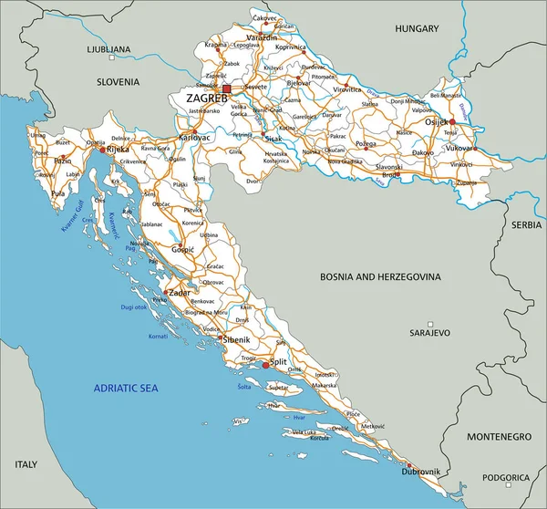
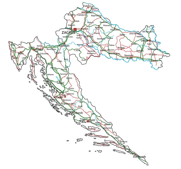
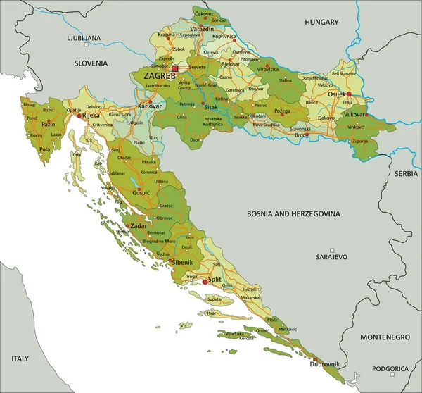
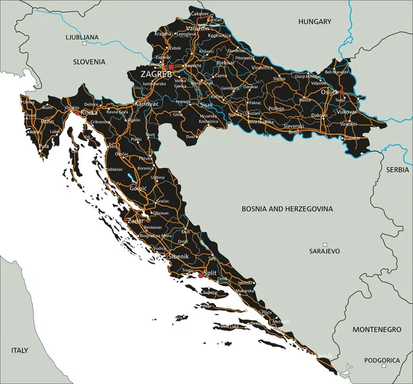
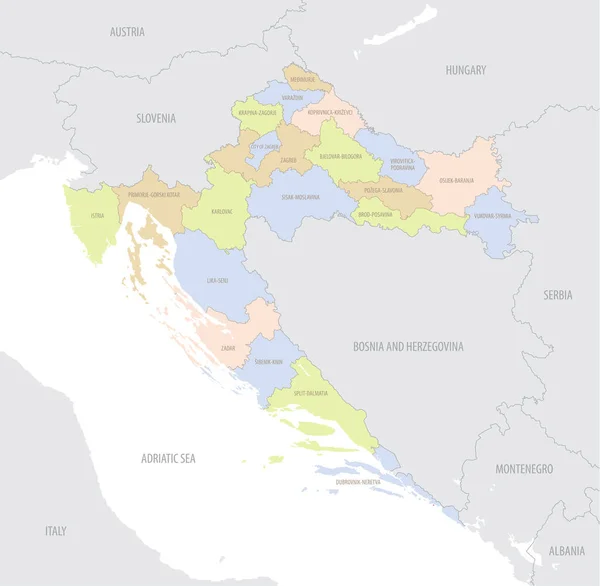
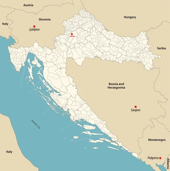
Stock vector vector map of highways and main cities of Croatia
Published:
Dec.30, 2021 16:27:13
Author:
Lesniewski
Views:
6
Downloads:
0
File type:
vector
/
eps
File size:
3.18 MB
Orginal size:
3389
x
3382
px
Available sizes:
S
(500 x 499)
M
(1000 x 998)
L
(2000 x 1996)
XL
(3389 x 3382)
VECT
(3389 x 3382)
EL0
(3389 x 3382)
Level:
bronze
Download Vector
Vector topics:
Vector
Background
Graphic
Illustration
Travel
Transportation
Border
Road
Traffic
River
Symbol
City
Scale
Drawing
Italy
Coastline
Tourism
Route
Highway
Town
Capital
Europe
Outline
Hill
Country
Map
Cartography
Geography
Plan
Lake
State
Split
Topography
Motorway
Location
Island
Destination
Republic
Croatia
Austria
Hungary
Slovenia
Montenegro
Zagreb
Albania
Serbia
Rijeka
Infographic
Adriatic Sea
Bosnia And Herzegovina
Similar stock vectors
High Detailed Croatia Road Map With Labeling.
5676 × 5290
Croatia Road And Highway Map. Vector Illustration.
5671 × 5285
High Detailed Croatia Road Map With Labeling.
5676 × 5290
Highly Detailed Editable Political Map With Separated Layers. Croatia.
5676 × 5290
High Detailed Croatia Road Map With Labeling.
5676 × 5290
Croatia - Highly Detailed Editable Political Map With Labeling.
5676 × 5290
Detailed Location Map Of Croatia In Europe With Administrative Divisions Of The Country, Vector Illustration
7087 × 6927
Vector Map Of Municipalities Of Croatia Colored By Counties With Neighbouring Countries And Territories
8299 × 8334