Home
Images
Vectors
Videos
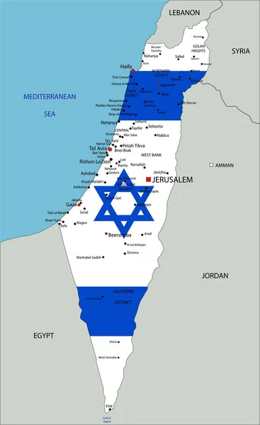
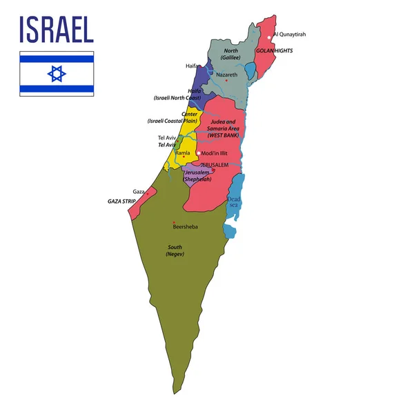
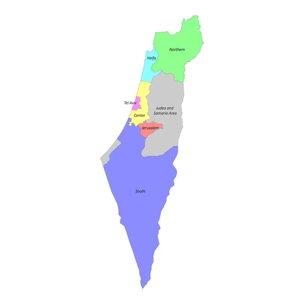
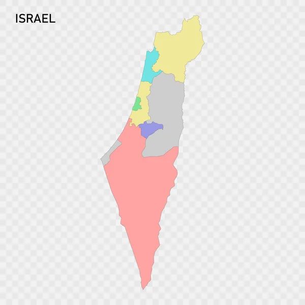
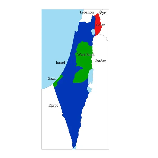
Stock vector vector map of Israel with neighboring countries
Published:
Apr.01, 2019 15:24:28
Author:
igormpgu2002
Views:
31
Downloads:
0
File type:
vector
/
eps
File size:
5.39 MB
Orginal size:
4000
x
4000
px
Available sizes:
S
(500 x 500)
M
(1000 x 1000)
L
(2000 x 2000)
XL
(4000 x 4000)
VECT
(4000 x 4000)
EL0
(4000 x 4000)
Level:
beginner
Download Vector
Vector topics:
Vector
Background
Isolated
Shape
Travel
Border
Contour
Outline
Country
Map
Cartography
Geography
National
Land
Asia
Countries
Political
Israel
Neighboring
Similar stock vectors
Israel Highly Detailed Political Map With National Flag.
3461 × 5648
Israel Map Vector Illustration
2348 × 3442
Vector Highly Detailed Political Map Of Israel With Regions And Their Capitals. All Elements Are Separated In Editable Layers Clearly Labeled.EPS 10
7000 × 7000
Vector Map Of Israel And Golan Heights With Neighboring Countries
4000 × 4000
High Quality Colorful Labeled Map Of Israel With Borders Of The Regions
4000 × 4000
Israel Map, Administrative Division, Separate Individual Regions With Names, Color Map Isolated On White Background Vector
4083 × 4100
Isolated Colored Map Of Israel With Borders Of The Regions
4000 × 4000
Israel Map, Administrative Division, Separate Individual Regions, Color Map Isolated On White Background, Blank
4083 × 4100