Home
Images
Vectors
Videos
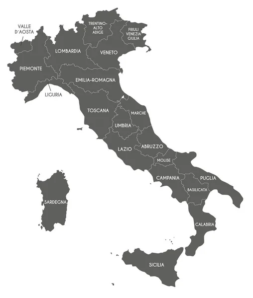
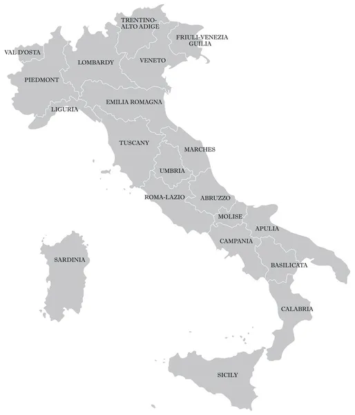
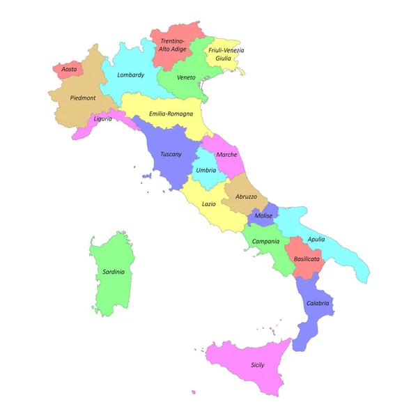
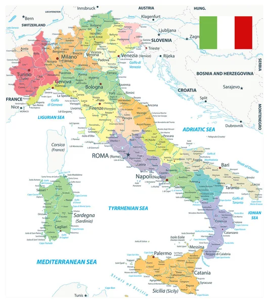
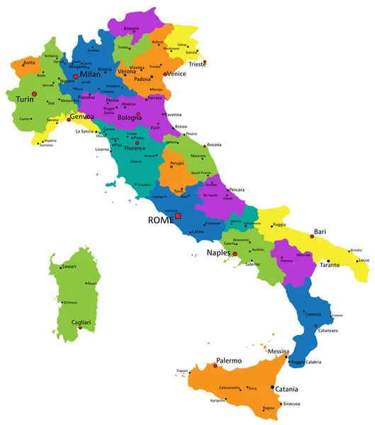
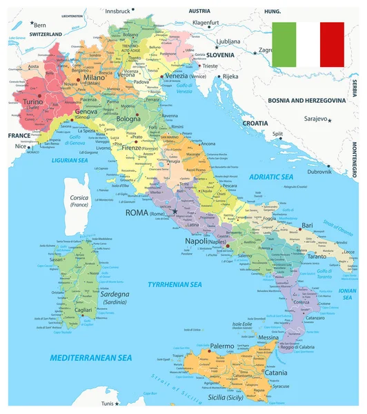
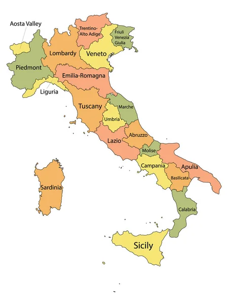
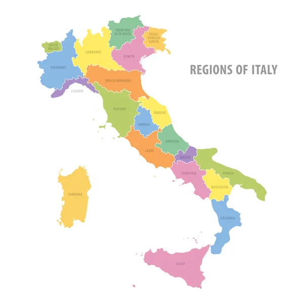
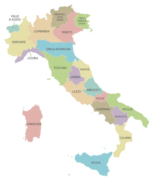
Stock vector Vector map of Italy with regions and administrative divisions. Editable and clearly labeled layers.
Published:
Jun.09, 2022 06:47:19
Author:
asantosg
Views:
95
Downloads:
1
File type:
vector
/
eps
File size:
1.92 MB
Orginal size:
4000
x
4725
px
Available sizes:
S
(423 x 500)
M
(847 x 1000)
L
(1693 x 2000)
XL
(4000 x 4725)
VECT
(4000 x 4725)
EL0
(4000 x 4725)
Level:
bronze
Download Vector
Vector topics:
Color
White
Vector
Background
Colorful
Graphic
Illustration
Design
Isolated
Physical
Information
Italy
Detailed
Europe
Country
Map
Cartography
Geography
National
Tuscany
Rome
Borders
Layers
Political
Administrative
Sardinia
States
Division
Info
Veneto
English
Editable
Sicily
Mockup
Liguria
Lombardy
Campania
Provinces
Regions
Territories
Lazio
Piedmont
Calabria
Labeled
Infographics
Neighbouring
Emilia Romagna
Similar stock vectors
Vector Map Of Italy With Regions And Administrative Divisions. Editable And Clearly Labeled Layers.
4000 × 4725
Italian Map
3600 × 4200
High Quality Colorful Labeled Map Of Italy With Borders Of The Regions
4000 × 4000
Italy Administrative Divisions Map On White
6638 × 7484
Colorful Italy Political Map
5010 × 5673
Italy Administrative Divisions Map
6638 × 7484
Labeled Colorful Regions Map Of European Country Of Italy
3600 × 4800
Administrative Color Vector Map Of Italy
6000 × 6000