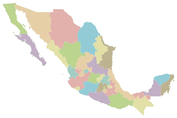
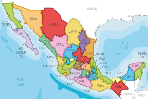
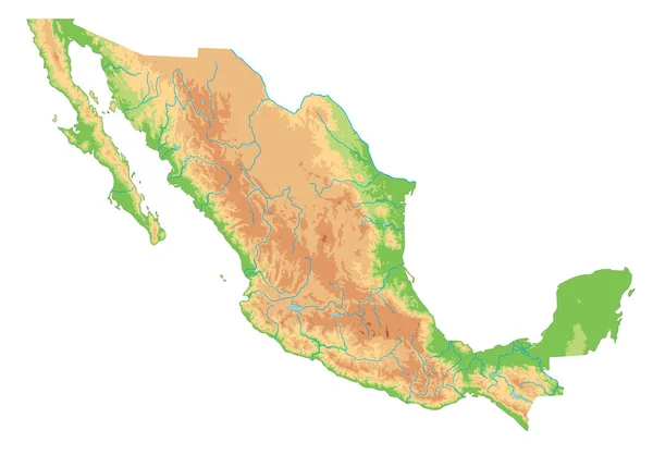
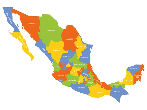
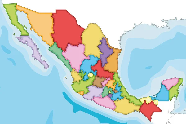
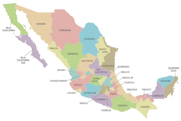
Stock vector Vector map of Mexico with regions or or states and administrative divisions. Editable and clearly labeled layers.
Published: Jun.16, 2022 00:01:16
Author: asantosg
Views: 3
Downloads: 1
File type: vector / eps
File size: 1.43 MB
Orginal size: 6000 x 4000 px
Available sizes:
Level: bronze