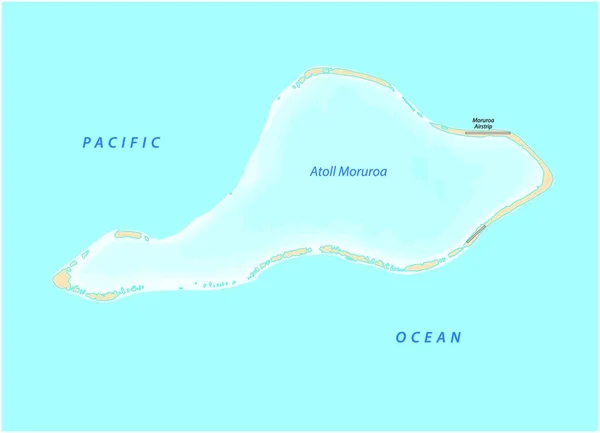
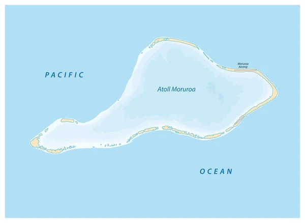
Stock vector vector map of Moruroa (Mururoa, Mururura) atoll, which belongs to French Polynesia
Published: Jul.28, 2020 10:37:07
Author: PantherMediaSeller
Views: 4
Downloads: 0
File type: vector / zip
File size: 0 MB
Orginal size: 4000 x 3893 px
Available sizes:
Level: platinum
Similar stock vectors
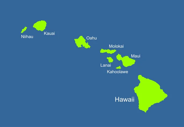
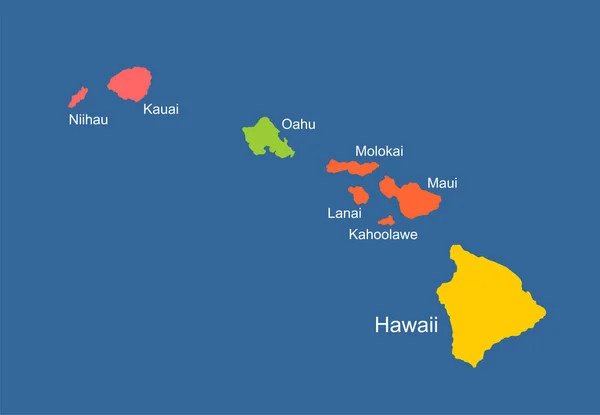
Hawaii Vector Map High Detailed Silhouette Illustration Isolated On Blue Background. Island Archipelago.
5976 × 4140