photo free
Home Images Vectors Videos

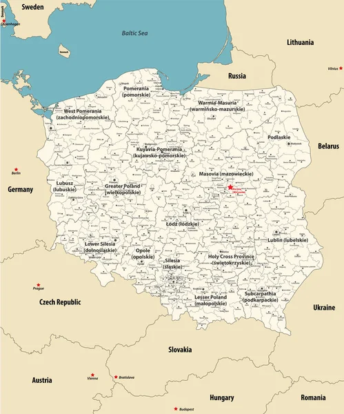
Stock vector Vector map of Poland with provinces and administrative divisions, and neighbouring countries and territories. Editable and clearly labeled layers.

Stock vector Vector map of Poland with provinces and administrative divisions, and neighbouring countries and territories. Editable and clearly labeled layers.
Published: Jul.02, 2024 13:52:01
Author: asantosg
Views: 0
Downloads: 0
File type: vector / eps
File size: 3.17 MB
Orginal size: 4200 x 3600 px
Available sizes:
S
(500 x 429)
M
(1000 x 857)
L
(2000 x 1714)
XL
(4200 x 3600)
VECT
(4200 x 3600)
EL0
(4200 x 3600)
Level: bronze
Download Vector
Vector topics:

Similar stock vectors

stock vector Poland - detailed map with administrative divisions country. Vector illustration

Poland - Detailed Map With Administrative Divisions Country. Vector Illustration

4507 × 5412
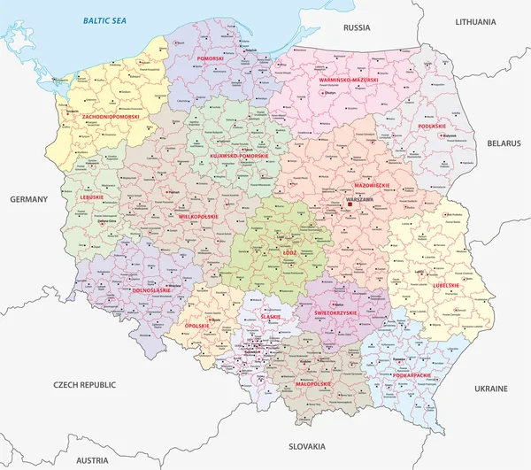
stock vector vector map of Poland administrative divisions colored by provinces with neighbouring countries. Polish names gives in parentheses, where they differ from the English ones

Vector Map Of Poland Administrative Divisions Colored By Provinces With Neighbouring Countries. Polish Names Gives In Parentheses, Where They Differ From The English Ones

6945 × 8334
stock vector poland administrative map

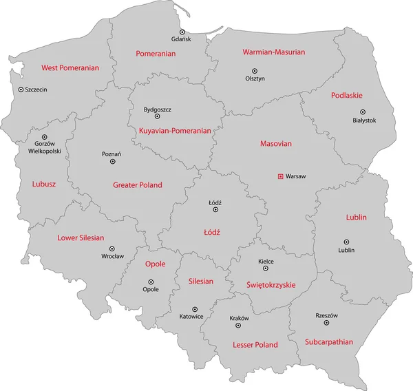
Poland Administrative Map

5995 × 5312
stock vector Poland - Highly detailed editable political map with labeling.

Poland - Highly Detailed Editable Political Map With Labeling.

5675 × 4694
stock vector Highly detailed editable political map with separated layers. Poland.

Highly Detailed Editable Political Map With Separated Layers. Poland.

5675 × 4694
stock vector Poland map

Poland Map

7004 × 6643
stock vector The administrative map of Poland isolated on white background

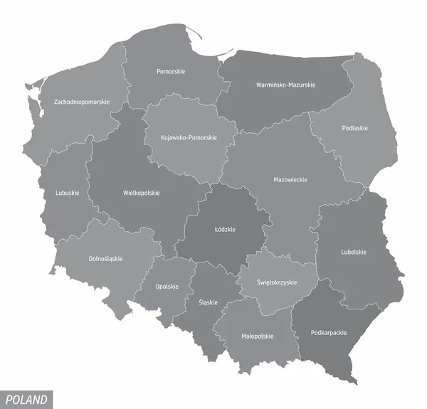
The Administrative Map Of Poland Isolated On White Background

5000 × 4800