Home
Images
Vectors
Videos
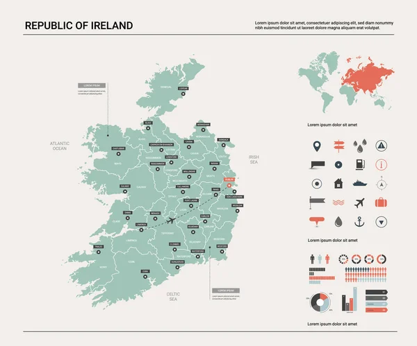
Stock vector Vector map of Republic of Ireland.
Published:
Apr.25, 2019 06:29:09
Author:
molokowall
Views:
2
Downloads:
0
File type:
vector
/
eps
File size:
2.78 MB
Orginal size:
4800
x
4000
px
Available sizes:
S
(500 x 417)
M
(1000 x 833)
L
(2000 x 1667)
XL
(4800 x 4000)
VECT
(4800 x 4000)
EL0
(4800 x 4000)
Level:
bronze
Download Vector
Vector topics:
Red
White
Blue
Vector
Background
Circle
Isolated
Travel
Border
Symbol
City
Button
Flat
Contour
Information
Pin
Education
World
Template
Town
Globe
Identity
Outline
Country
District
Map
Cartography
Geography
Continent
Land
Ground
State
Topography
Location
Political
Geographic
Region
Editable
Territory
Atlas
Nation
Subdivision
Mapping
Infographic
Travel Map
Vector Map
Infograhic
Similar stock vectors
Republic Of Ireland Map With Borders, Cities, Capital And Administrative Divisions. Infographic Vector Map. Editable Layers Clearly Labeled.
3000 × 3000
Vector Map Of Northern Ireland.
4800 × 4000
Vector Set Of Republic Of Ireland.
5400 × 3000
Vector Map Of Iceland.
4800 × 4000
Isometric 3D Republic Of Ireland Map. Stylized Vector Map Illustration With Cities, Borders, Capital, Administrative Divisions And Pointer Marks; Gradient Background With Grid.
4000 × 3000
Infographics Map Of Ireland With Administrative Divisions Into Provinces And Counties
6104 × 7677
Detailed Map Of Ireland With Administrative Divisions On Dark Background, Country Big Cities And Icons Set, Vector Illustration
7677 × 5758
Vector Map Of Wales.
4000 × 4000