Home
Images
Vectors
Videos
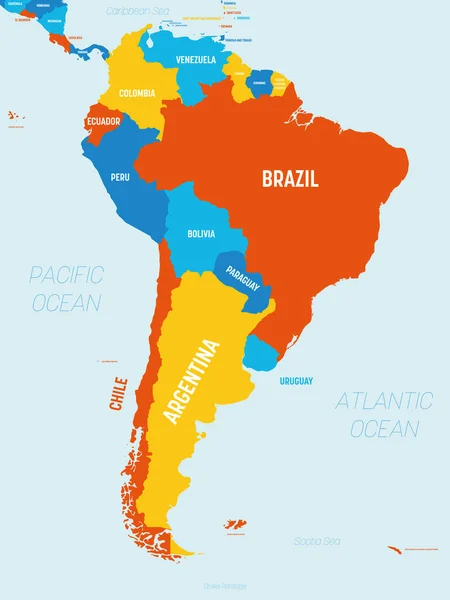
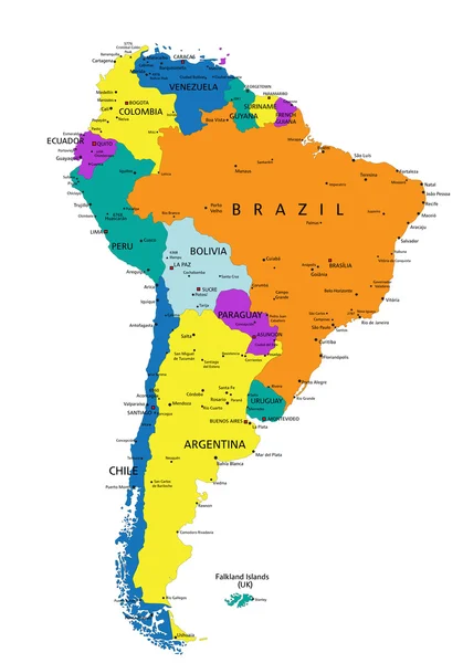
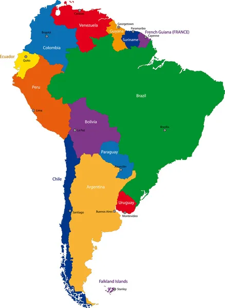
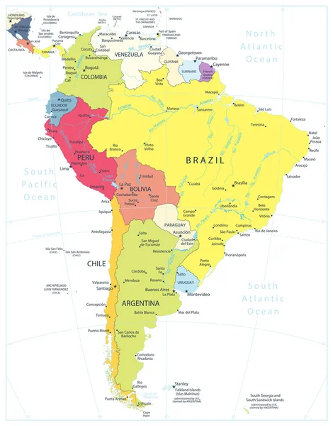
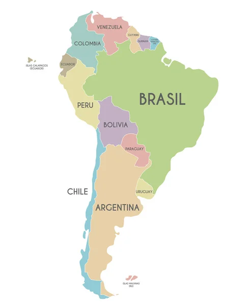
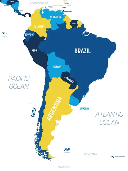
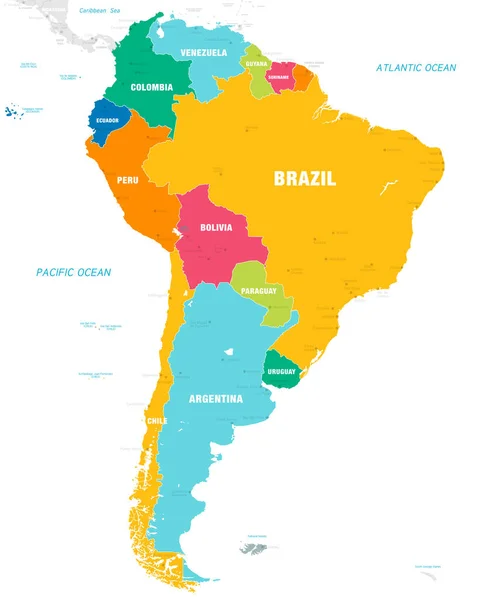
Stock vector Vector map of South America Continent with Countries, Capitals, Main Cities and Seas and islands names in brilliant colors.
Published:
Sep.03, 2018 16:17:16
Author:
pingebat
Views:
1283
Downloads:
7
File type:
vector
/
eps
File size:
2.24 MB
Orginal size:
5673
x
7088
px
Available sizes:
S
(400 x 500)
M
(800 x 1000)
L
(1601 x 2000)
XL
(5673 x 7088)
VECT
(5673 x 7088)
EL0
(5673 x 7088)
Level:
silver
Download Vector
Vector topics:
Color
Vector
Background
Colorful
Graphic
Illustration
Design
Travel
Border
City
Earth
World
Capital
South
Outline
Country
Map
Cartography
Geography
Continent
State
Topography
America
Countries
Political
Administrative
Central
Brazil
Atlas
Chile
Argentina
Paraguay
Peru
Venezuela
Ecuador
Bolivia
Colombia
URUGUAY
Guyana
Suriname
Similar stock vectors
South America Map - 4 Bright Color Scheme. High Detailed Political Map South American Continent With Country, Ocean And Sea Names Labeling
4500 × 6000
South America Map Detailed Political Map With Lables
6000 × 8000
Colorful South America Political Map
3969 × 5670
Colorful South America Map
5160 × 7059
South America Detailed Political Map Isolated On White
6426 × 8192
South America Map - Illustration.
5400 × 6946
Political South America Map Vector Illustration Isolated On White Background With Country Names In Spanish. Editable And Clearly Labeled Layers.
4000 × 4857
South America Map - Brown Orange Hue Colored On Dark Background. High Detailed Political Map South American Continent With Country, Ocean And Sea Names Labeling
4500 × 6000