Home
Images
Vectors
Videos
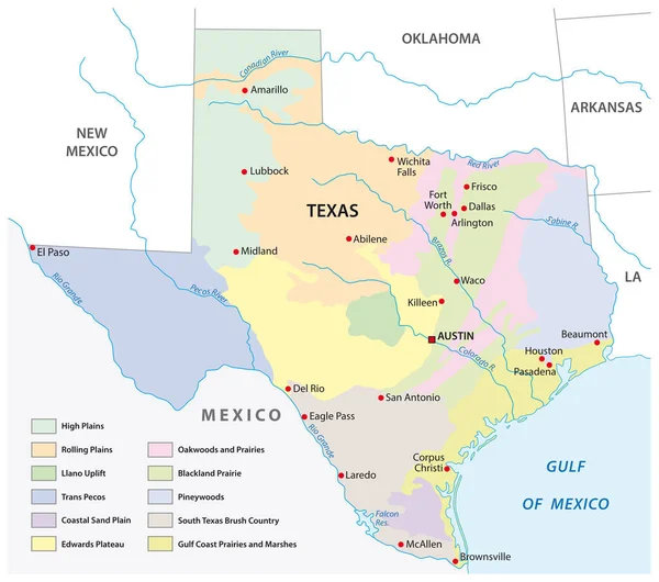
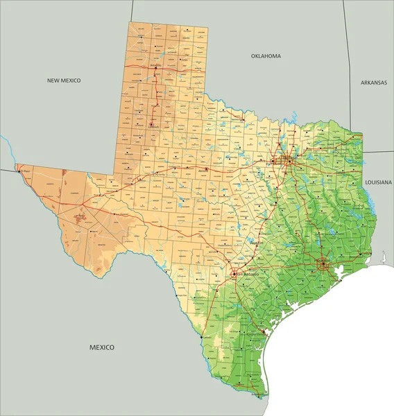
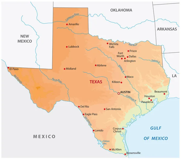
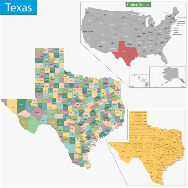
Stock vector vector map of Texas's congressional districts since 2013. High detailed political map of Texasshowing counties formations
Published:
Jun.14, 2018 07:25:21
Author:
Jktu_21
Views:
231
Downloads:
2
File type:
vector
/
eps
File size:
7.71 MB
Orginal size:
8333
x
7209
px
Available sizes:
S
(500 x 433)
M
(1000 x 865)
L
(2000 x 1730)
XL
(8333 x 7209)
VECT
(8333 x 7209)
EL0
(8333 x 7209)
Level:
silver
Download Vector
Vector topics:
Vector
Background
Illustration
Travel
Border
Flag
City
Usa
South
Country
District
Map
Cartography
Geography
National
State
Texas
America
Political
Administrative
Mexico
County
Austin
Houston
Dallas
Harris
Travis
Congressional
Knox
United States
Fort Worth
San Antonio
El Paso
Texas Flag
Similar stock vectors
Texas County Map
5133 × 4500
Simple Colored Texas State Physical Vector Map
4000 × 3939
Vector Map Of The Physical Regions Of Texas
3503 × 3100
High Detailed Texas Physical Map With Labeling.
5806 × 6121
FRANKFURT AM MAIN, GERMANY-JUNE 14, 2018: The Holbeinsteg Footbridge In Front Of The Skyline In Frankfurt Am Main, Germany
3510 × 3100
Vector Map Of The U.S. State Of Texas
4000 × 3925
Texas Map
7000 × 7000
Texas Road Map With Flag
4816 × 4216