Home
Images
Vectors
Videos
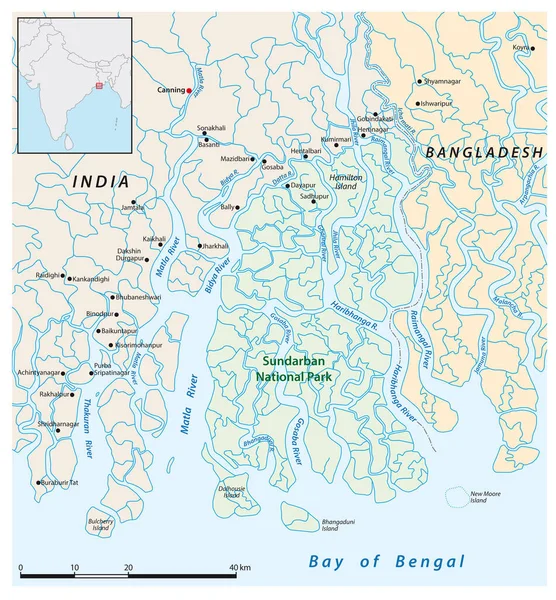
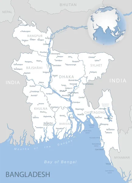
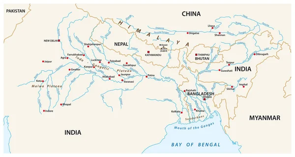
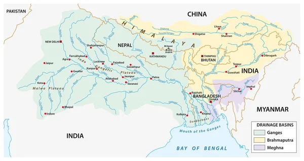
Stock vector vector Map of the combined catchment areas of the Ganges, Brahmaputra and Meghna rivers.
Published:
Sep.21, 2018 12:42:56
Author:
Lesniewski
Views:
133
Downloads:
5
File type:
vector
/
eps
File size:
1.79 MB
Orginal size:
5816
x
3100
px
Available sizes:
S
(500 x 267)
M
(1000 x 533)
L
(2000 x 1066)
XL
(5816 x 3100)
VECT
(5816 x 3100)
EL0
(5816 x 3100)
Level:
bronze
Download Vector
Vector topics:
Color
Blue
Vector
Graphic
Illustration
Mouth
Border
River
City
Detailed
China
Outline
Country
Map
Cartography
Geography
National
Land
Asia
State
Topography
Political
India
Himalaya
Nepal
Delta
Kathmandu
Rivers
Myanmar
Regions
Bangladesh
Thimphu
Dhaka
Ganges
Capital Cities
Navigational Equipment
Geographical Locations
New Delhi
Bay Of Bengal
Brahmaputra
Mount Everest
Patna
Meghna
Sundabans
Similar stock vectors
Vector Map Of The Combined Catchment Areas Of The Ganges, Brahmaputra And Meghna Rivers.
5816 × 3100
A Bangladesh Country Road Vector Map
3298 × 4084
Vector Map Of India National Park Sundarban
3100 × 3341
Vector Map Of The Congo River Basin
3449 × 3100
Blue-gray Detailed Map Of Bangladesh Administrative Divisions And Location On The Globe. Vector Illustration
5172 × 7152
Bangladeshphysiography Map
5796 × 7993
S Republic Of Bangladesh - Vector Map
3656 × 3921