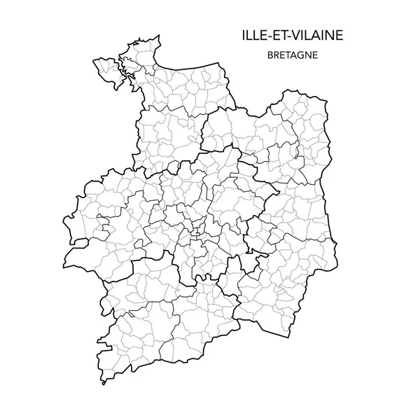
Stock vector Vector Map of the Geopolitical Subdivisions of the French Department of Ille-et-Vilaine Including Arrondissements, Cantons and Municipalities as of 2022 - Bretagne - France
Published: May.24, 2022 07:40:57
Author: Dorky
Views: 3
Downloads: 0
File type: vector / ai
File size: 1.77 MB
Orginal size: 3000 x 3000 px
Available sizes:
Level: beginner