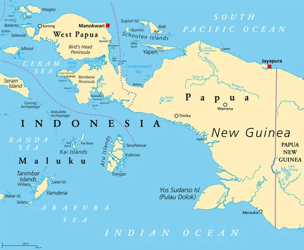
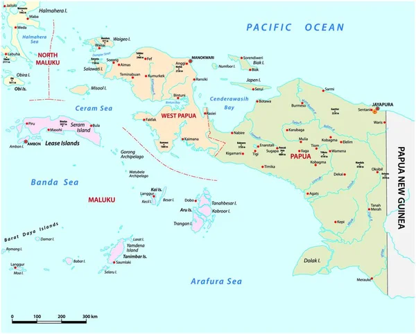
Stock vector vector map of the Indonesian provinces of Papua and West Papua
Published: Dec.13, 2021 13:20:18
Author: PantherMediaSeller
Views: 5
Downloads: 0
File type: vector / zip
File size: 0 MB
Orginal size: 4000 x 3896 px
Available sizes:
Level: platinum