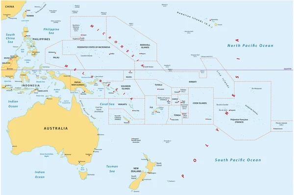
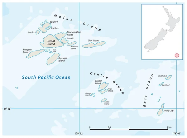
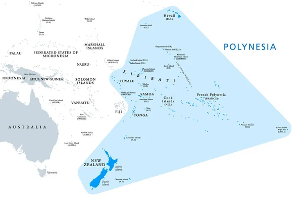
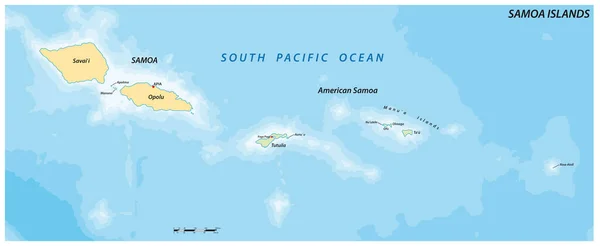
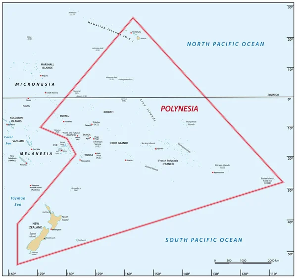
Stock vector Vector map of the Pacific island region of Polynesia
Published: Jul.09, 2022 14:12:04
Author: Lesniewski
Views: 8
Downloads: 0
File type: vector / eps
File size: 1.25 MB
Orginal size: 3302 x 3100 px
Available sizes:
Level: bronze