Home
Images
Vectors
Videos
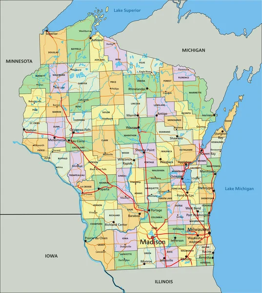
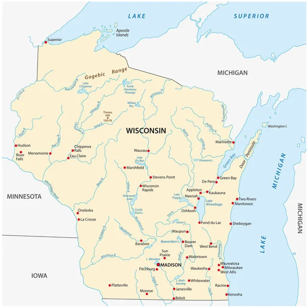
Stock vector Vector map of the regions of the US state of Wisconsin with flag
Published:
Jul.26, 2021 12:31:35
Author:
Lesniewski
Views:
9
Downloads:
0
File type:
vector
/
eps
File size:
2.39 MB
Orginal size:
3100
x
3136
px
Available sizes:
S
(494 x 500)
M
(989 x 1000)
L
(1977 x 2000)
XL
(3100 x 3136)
VECT
(3100 x 3136)
EL0
(3100 x 3136)
Level:
bronze
Download Vector
Vector topics:
Color
Vector
Background
Colorful
Graphic
Illustration
Design
Travel
Detail
Abstract
Border
Frame
Flag
Symbol
Icon
Contour
World
American
Us
Usa
Coast
Tourism
Outline
Country
District
Map
Cartography
Geography
National
State
Topography
America
Island
Administrative
Region
Division
Province
Nation
Minnesota
County
Iowa
Illinois
Wisconsin
Geopolitical
Madison
Infographic
Lake Michigan
Lake Superior
Similar stock vectors
Michigan - Highly Detailed Editable Political Map With Labeling.
5872 × 5807
Highly Detailed Editable Political Map With Separated Layers. Minnesota.
4099 × 5009
Wisconsin - Highly Detailed Editable Political Map With Labeling.
4165 × 4645
Wisconsin - Vector Map
5248 × 4835
Highly Detailed Editable Political Map With Separated Layers. Wisconsin.
4165 × 4645
Vector Map Of The U.S. State Of Wisconsin
3103 × 3100
Wisconsin, WI, Political Map, With The Capital Madison And Metropolitan Area Milwaukee. State In The Upper Midwestern United States Of America, With The Nicknames Badger State, And Americas Dairyland.
6000 × 6000
High Detailed Michigan Physical Map With Labeling.
5872 × 5807