Home
Images
Vectors
Videos
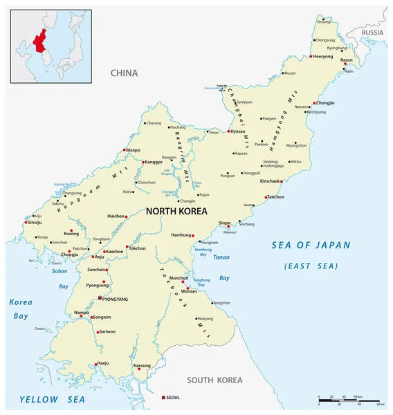
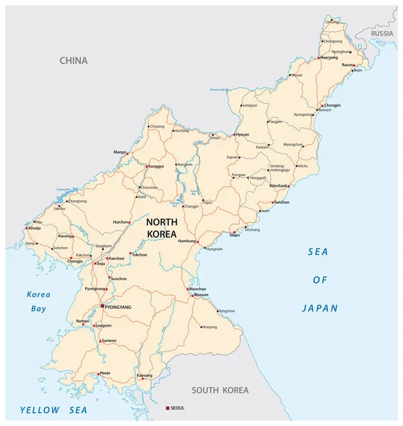
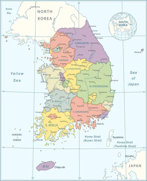
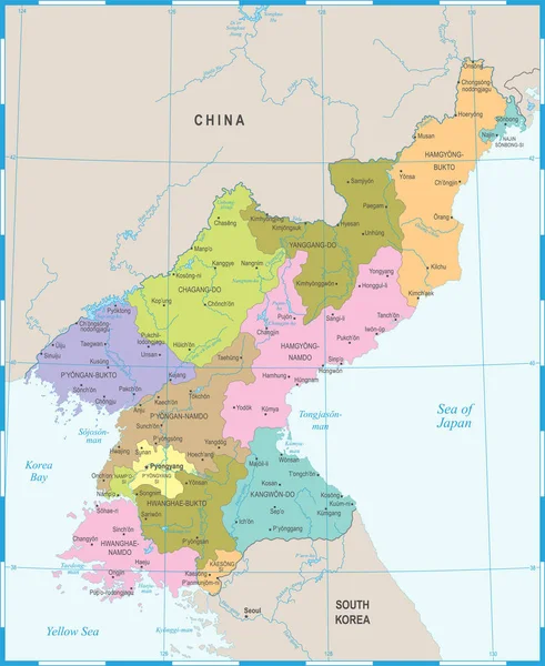
Stock vector Vector map of the yellow sea between China, North Korea and South Korea
Published:
May.19, 2020 08:58:09
Author:
Lesniewski
Views:
24
Downloads:
1
File type:
vector
/
eps
File size:
1.29 MB
Orginal size:
4056
x
3100
px
Available sizes:
S
(500 x 382)
M
(1000 x 764)
L
(2000 x 1529)
XL
(4056 x 3100)
VECT
(4056 x 3100)
EL0
(4056 x 3100)
Level:
bronze
Download Vector
Vector topics:
Color
Vector
Background
Graphic
Illustration
Design
Isolated
Business
Travel
Colour
Border
River
City
Earth
Bay
Capital
North
Globe
East
China
South
Outline
Country
Map
Cartography
Geography
Asia
State
Japan
Topography
Location
International
Government
Administrative
Politics
Destination
Beijing
Korea
Seoul
Pyongyang
Geographical
Regions
Bohai
Sea Of Japan
Jeju Island
Yellow Sea
Korea Strait
Liadong
Laizhpu
Similar stock vectors
Vector Map Of Democratic Peoples Republic Of Korea, North Korea
3100 × 3268
North Korea Road Vector Map
3100 × 3268
North Korea And Surrounding Countries Map
4896 × 6650
Hong Kong Administrative Map
4212 × 3355
North Korea South Korea Japan China Russia Mongolia Map - Vector Illustration
8012 × 5500
Map Of South Korea - Highly Detailed Vector Illustration
4871 × 5981
North Korea Map - Detailed Vector Illustration
5500 × 6716