Home
Images
Vectors
Videos
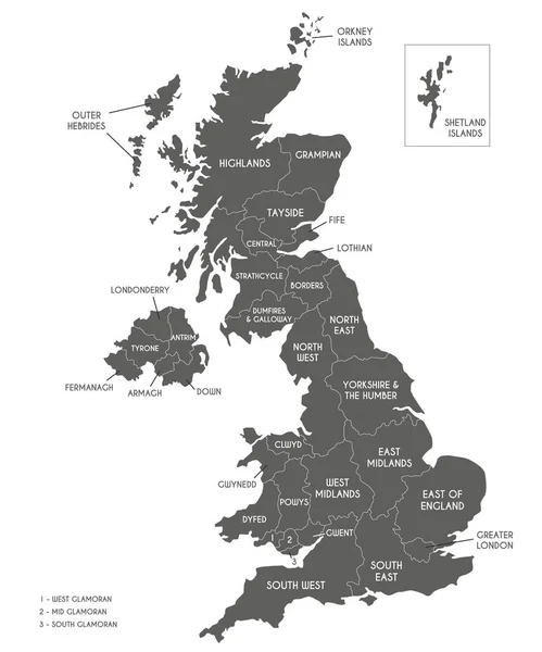
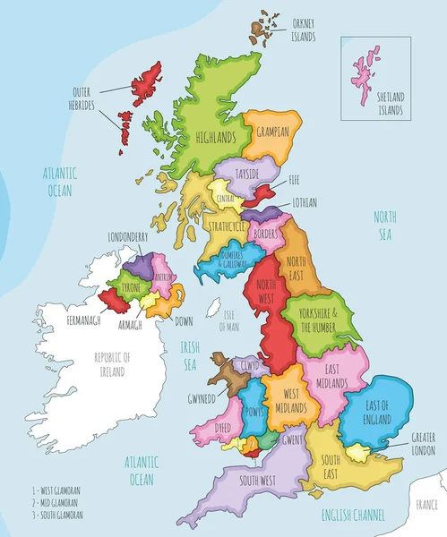
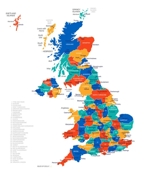
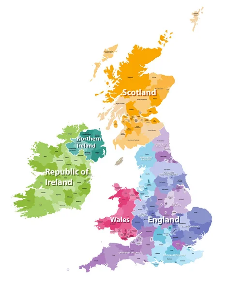
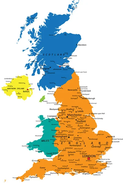
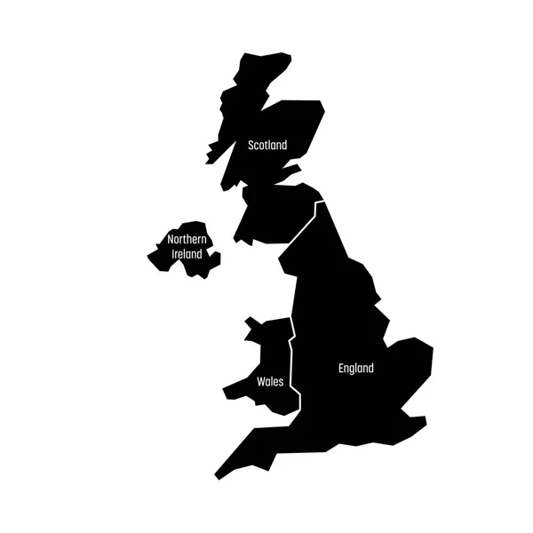
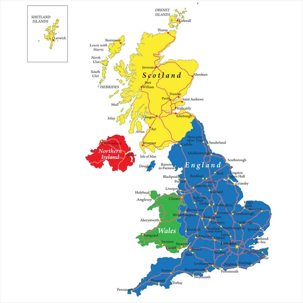
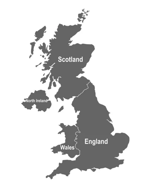
Stock vector Vector map of UK with administrative divisions. Editable and clearly labeled layers.
Published:
Jul.05, 2023 11:33:38
Author:
asantosg
Views:
18
Downloads:
0
File type:
vector
/
eps
File size:
2.43 MB
Orginal size:
4000
x
4800
px
Available sizes:
S
(417 x 500)
M
(833 x 1000)
L
(1667 x 2000)
XL
(4000 x 4800)
VECT
(4000 x 4800)
EL0
(4000 x 4800)
Level:
bronze
Download Vector
Vector topics:
Color
White
Vector
Background
Colorful
Graphic
Illustration
Design
Isolated
Physical
Information
Detailed
Country
Map
Cartography
Geography
National
Ireland
Uk
Borders
Layers
Political
Administrative
States
London
Division
Info
Highlands
English
Editable
England
Wales
Mockup
Scotland
Provinces
Regions
Territories
Labeled
Antrim
Lothian
Infographics
Neighbouring
Great Britain
United Kingdom
North Ireland
Strathcycle
Similar stock vectors
Vector Map Of UK With Administrative Divisions. Editable And Clearly Labeled Layers.
4000 × 4800
Vector Illustrated Map Of UK With Administrative Divisions, And Neighbouring Countries. Editable And Clearly Labeled Layers.
4000 × 4800
United Kingdom Map - Vector Illustration
4641 × 5675
British Isles Map Colored By Countries And Regions
5664 × 7292
Colorful United Kingdom Political Map
3807 × 5670
United Kingdom, Aka UK, Of Great Britain And Northern Ireland Map. Divided To Four Countries - England, Wales, Scotland And NI. Simple Flat Vector Illustration
4000 × 4000
Highly Detailed Vector Map Of United Kingdom With Administrative Regions, Main Cities And Roads.
5000 × 5001
Map Of Great Britain With Constituent Countries
4000 × 5000