Home
Images
Vectors
Videos
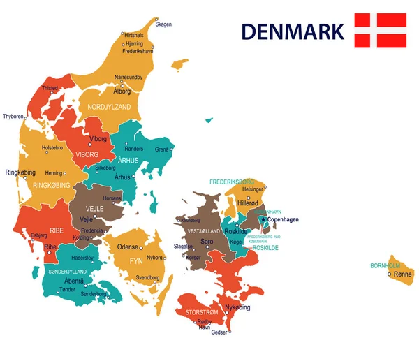
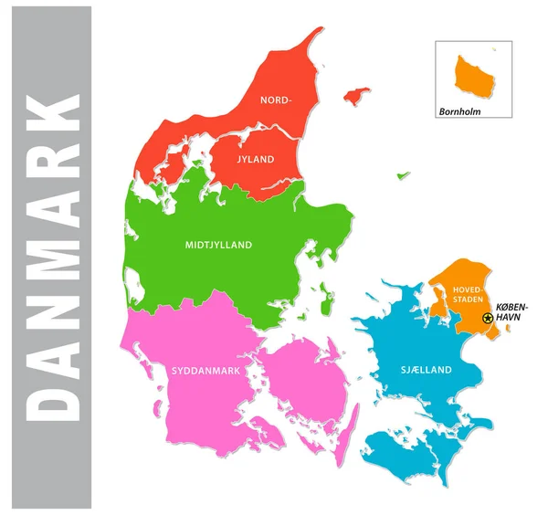
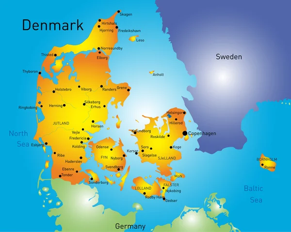
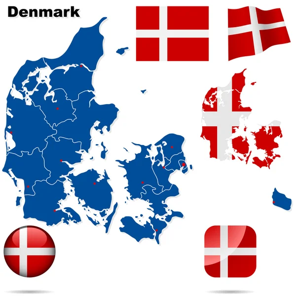
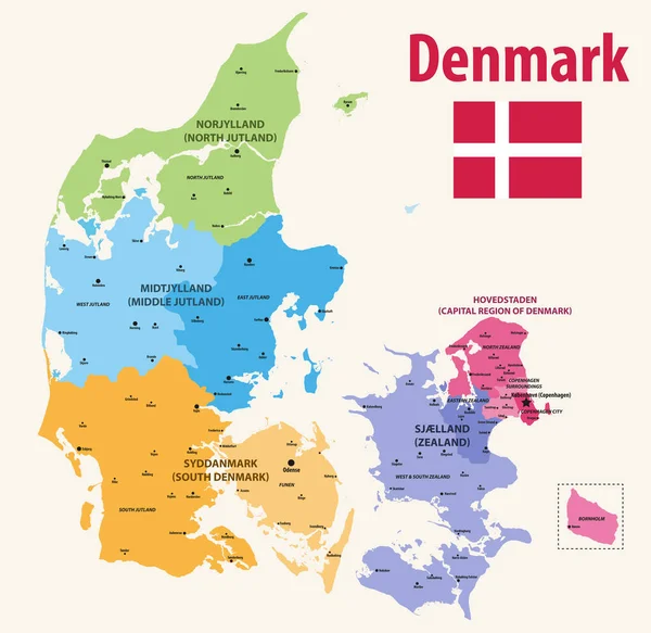
Stock vector vector map pf Denmark provinces colored by regions with main cities on it
Published:
Jul.15, 2019 12:04:39
Author:
Jktu_21
Views:
106
Downloads:
1
File type:
vector
/
eps
File size:
8.11 MB
Orginal size:
8333
x
8106
px
Available sizes:
S
(500 x 486)
M
(1000 x 973)
L
(2000 x 1946)
XL
(8333 x 8106)
VECT
(8333 x 8106)
EL0
(8333 x 8106)
Level:
silver
Download Vector
Vector topics:
Vector
Background
Illustration
Travel
Silhouette
Border
Flag
Landscape
Symbol
Architecture
Building
City
Urban
Contour
Culture
Tourism
Detailed
Capital
Scandinavia
North
Europe
South
Country
Map
Cartography
Geography
National
Land
Middle
Political
Administrative
Denmark
Copenhagen
ZEALAND
Territory
Atlas
Province
Facades
Jutland
Regions
Odense
Hovedstaden
Similar stock vectors
Denmark - Map And Flag Illustration
7155 × 5900
Colorful Denmark Administrative And Political Map
3296 × 3100
Denmark Vector Set.
3970 × 5671
Denmark
6349 × 5075
Vector Map Of Denmark | Outline Detailed Map With City Names
9966 × 9614
Denmark Handdrawn Map Colourful Sketchy Country Outline Exotic Denmark Map With Provinces Vector
5485 × 5485
Vector Hand Drawn Stylized Map Of Denmark Regions. Travel Illustration. Kingdom Of Denmark Geography Illustration. Europe Map Element
4000 × 4000
Denmark Vector Set.
6000 × 6000