Home
Images
Vectors
Videos
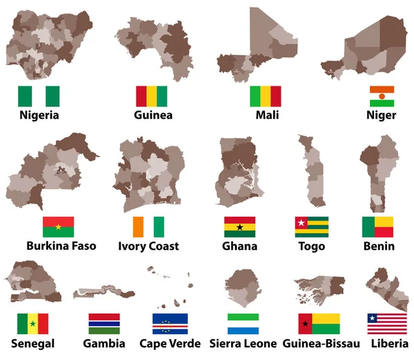
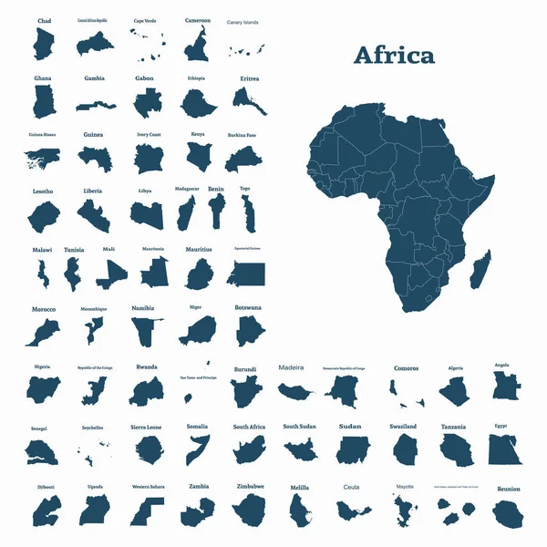
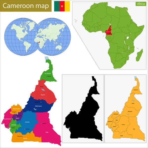
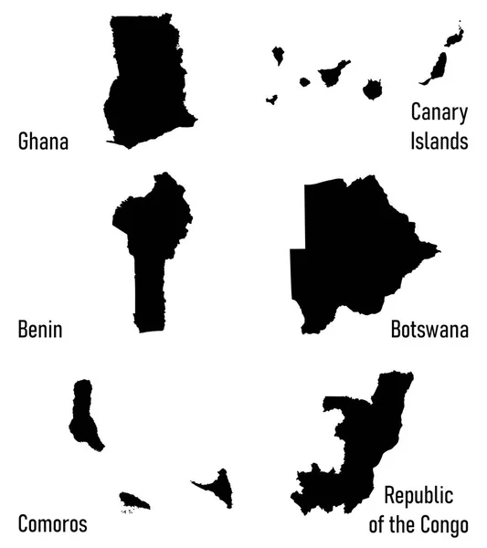
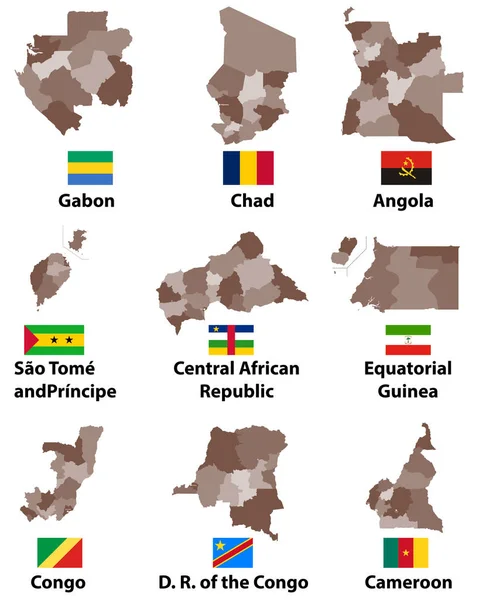
Stock vector vector maps and flags of Central Africa countries with administrative divisions (regions borders)
Published:
Feb.12, 2018 11:54:46
Author:
Jktu_21
Views:
27
Downloads:
0
File type:
vector
/
eps
File size:
6.48 MB
Orginal size:
6761
x
8334
px
Available sizes:
S
(406 x 500)
M
(811 x 1000)
L
(1623 x 2000)
XL
(6761 x 8334)
VECT
(6761 x 8334)
EL0
(6761 x 8334)
Level:
silver
Download Vector
Vector topics:
Vector
Background
Illustration
Isolated
Sign
Travel
Border
Flag
African
Symbol
City
World
Country
Map
Cartography
Geography
National
Africa
Continent
Land
Administrative
Region
Central
Atlas
Nation
Gabon
Congo
Chad
Cameroon
Angola
CENTRAL AFRICAN REPUBLIC
Equatorial Guinea
Sao Tome And Principe
Similar stock vectors
Vector Maps And Flags Of Western Africa Countries With Administrative Divisions (regions Borders)
8334 × 7183
African Continent And All Countries Of Africa. Vector Illustration
5001 × 5001
Cameroon Map
7004 × 7004
Silhouettes Of Africa Countries
5425 × 6100
African Continent And All Countries Of Africa. Vector Illustration
5001 × 5001
Silhouettes Of Africa Countries Vector
4733 × 5277
Vector Map Of Africa Continent Colored By Regions. All Flags Of African Countries Arranged In Alphabetical Order And Singled Out By Regions
8334 × 5379
"Senegal Map"" Colorful Vector Illustration
5000 × 5000