Home
Images
Vectors
Videos
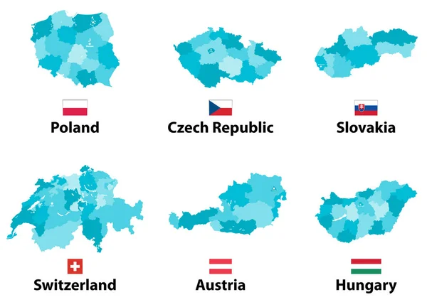
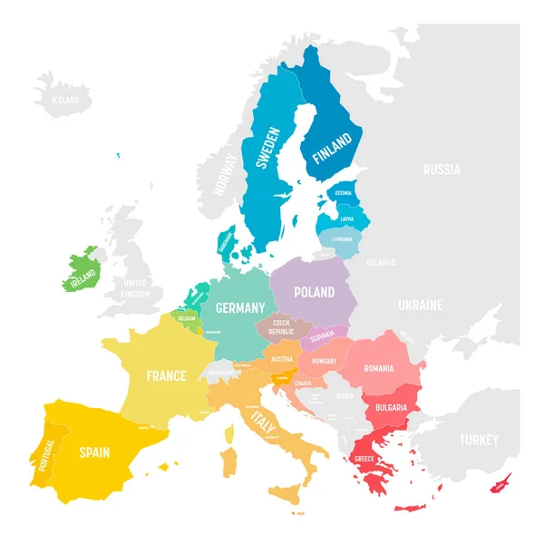
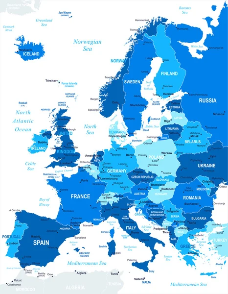
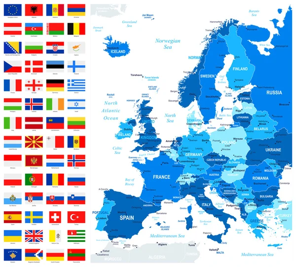
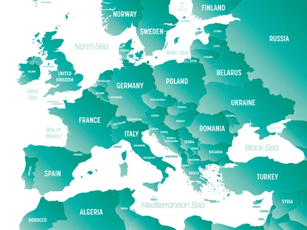
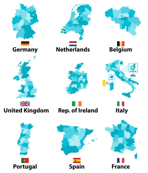
Stock vector vector maps and flags of Europe countries with administrative divisions (regions borders)
Published:
Feb.12, 2018 11:54:50
Author:
Jktu_21
Views:
112
Downloads:
4
File type:
vector
/
eps
File size:
11.82 MB
Orginal size:
6271
x
7292
px
Available sizes:
S
(430 x 500)
M
(860 x 1000)
L
(1720 x 2000)
XL
(6271 x 7292)
VECT
(6271 x 7292)
EL0
(6271 x 7292)
Level:
silver
Download Vector
Vector topics:
Vector
Illustration
Isolated
Travel
Border
Flag
Symbol
World
Italy
France
Netherlands
Europe
Country
Map
Cartography
Geography
Germany
Portugal
Spain
Administrative
Region
Vatican
Belgium
Nation
San Marino
United Kingdom
Republic Of Ireland
Similar stock vectors
Vector Maps And Flags Of Europe Countries With Administrative Divisions (regions Borders)
8334 × 6004
Colorful Vector Map Of EU, European Union. Member States After Brexit In 2020
6000 × 6000
Europe - Map - Illustration
5400 × 6938
Set With European Flags And Border Of Their Country
4000 × 4000
Political Map Of Europe Continent In Four Shades Of Turquoise Blue With White Country Name Labels And Isolated On White Background. Vector Illustration
6000 × 6000
Set Of Icons With European Countries
5854 × 3588
Map And Flags Of Europe - Full Vector Collection.
7400 × 6686
Europe - High Detailed Political Map Of European Continent With Country, Ocean And Sea Names Labeling.
8000 × 6000