photo free
Home Images Vectors Videos

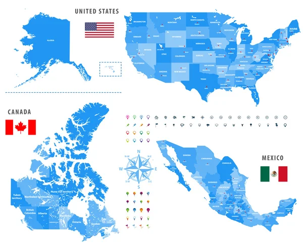
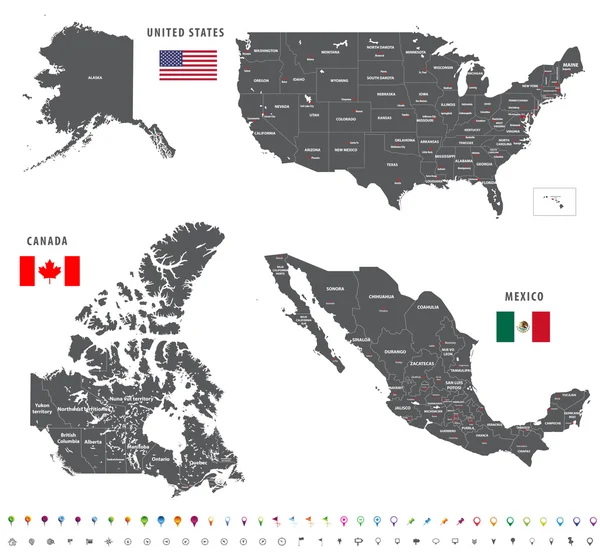
Stock vector vector maps and flags of North America countries with administrative divisions (regions borders)
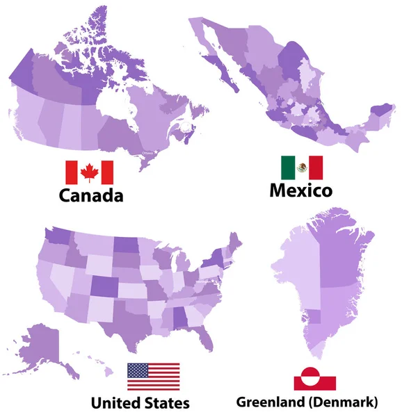
Stock vector vector maps and flags of North America countries with administrative divisions (regions borders)
Published: Feb.12, 2018 11:54:46
Author: Jktu_21
Views: 49
Downloads: 0
File type: vector / eps
File size: 7.57 MB
Orginal size: 7028 x 7292 px
Available sizes:
S
(482 x 500)
M
(964 x 1000)
L
(1928 x 2000)
XL
(7028 x 7292)
VECT
(7028 x 7292)
EL0
(7028 x 7292)
Level: silver
Download Vector
Vector topics:

Similar stock vectors

stock vector North America Political Map

North America Political Map

7000 × 8219
stock vector USA map. High detailed political map United States of America and neighboring countries with country, ocean and sea names labeling

USA Map. High Detailed Political Map United States Of America And Neighboring Countries With Country, Ocean And Sea Names Labeling

6000 × 4500
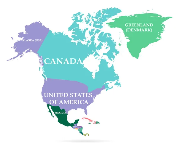
stock vector Colorful map of North America continent

Colorful Map Of North America Continent

4400 × 3692
stock vector maps of Canada, United States and Mexico with flags and location\navigation icons. All layers detached and labeled.

Maps Of Canada, United States And Mexico With Flags And Location\navigation Icons. All Layers Detached And Labeled.

7292 × 5990
stock vector maps of Canada, United States and Mexico with flags and location\navigation icons. All layers detached and labeled.

Maps Of Canada, United States And Mexico With Flags And Location\navigation Icons. All Layers Detached And Labeled.

7292 × 6730
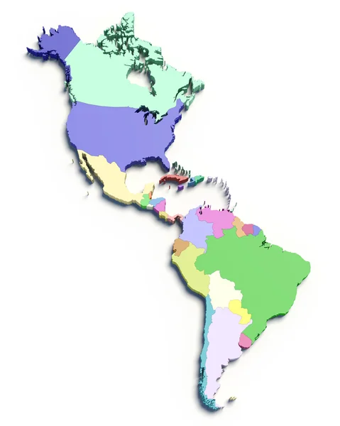
stock image 3d color map of south and north american countries

3d Color Map Of South And North American Countries

4000 × 5000